Loftus Junction railway signal box, Royal National Park
Map
Facts and practical information
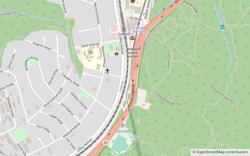
The Loftus Junction railway signal box is a heritage-listed disused railway signal box on the Illawarra line at Loftus in the Sutherland Shire local government area of New South Wales, Australia. It was built during 1886. The property is owned by RailCorp, an agency of Government of New South Wales. It was added to the New South Wales State Heritage Register on 2 April 1999. ()
Coordinates: 34°2'53"S, 151°3'5"E
Address
Sutherland (Loftus)Royal National Park
ContactAdd
Social media
Add
Getting there by public transportation
Public transportation stops near this location
- Bus
- Tram
- Train
 Bus
Bus
- Calculate routeLoftus 5 min walk
- Calculate routeSutherland 31 min walk
- Calculate routeKirrawee 38 min walk
- Calculate routeLoftus Oval 6 min walk
- Calculate routeTramway Museum 6 min walk
- Calculate routeWaratah Loop 22 min walk
- Calculate routeRoyal National Park 27 min walk
- Calculate routeSutherland Station, Stand A 30 min walk
Day trips


Frequently Asked Questions (FAQ)
How to get to Loftus Junction railway signal box by public transport?
The nearest stations to Loftus Junction railway signal box:
Train
Tram
Bus
Train
- Loftus (5 min walk)
- Sutherland (31 min walk)
Tram
- Loftus Oval (6 min walk)
- Tramway Museum (6 min walk)
Bus
- Sutherland Station, Stand A • Lines: M92 (30 min walk)