Batman's Hill, Melbourne
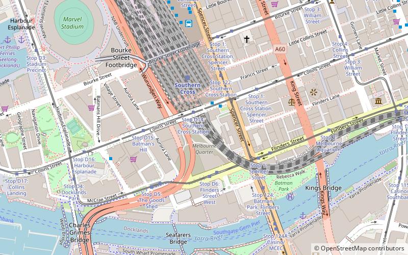
Map
Facts and practical information
Batman's Hill in Melbourne, Australia was named for the Vandemonian adventurer and grazier John Batman. Now removed, the 18-metre-high hill was located to the south of today's Collins Street and Southern Cross railway station, and is the site of a steel marker the same height as the original hill. ()
Coordinates: 37°49'12"S, 144°57'11"E
Address
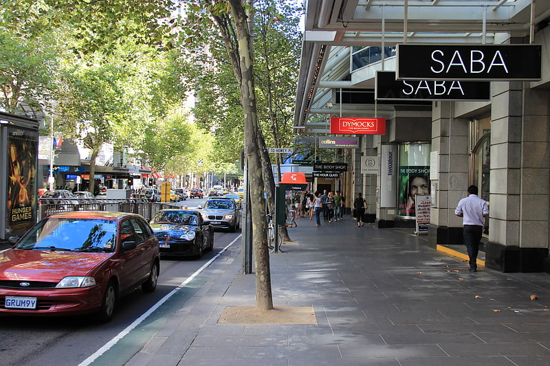
City of Melbourne (Docklands)Melbourne
ContactAdd
Social media
Add
Getting there by public transportation
Public transportation stops near this location
- Bus
- Tram
- Train
- Ferry
 Bus
Bus
- Calculate routeStop D14: Southern Cross Station 2 min walk
- Calculate routeStop D6: Flinders Street West 3 min walk
- Calculate routeStop 122: Southern Cross Station 3 min walk
- Calculate routeStop 1: Southern Cross Station, Spencer Street 4 min walk
- Calculate routeSouthern Cross Station 2 min walk
- Calculate routeSouthern Cross Coach Terminal 8 min walk
- Calculate routeLonsdale Street/Spencer Street 10 min walk
- Calculate routeSouthern Cross 4 min walk
- Calculate routeFlagstaff 15 min walk
- Calculate routeFlinders Street 20 min walk
- Calculate routeMelbourne Central 22 min walk
- Calculate routePort Phillip Ferries 13 min walk
Maps Melbourne TramsMaps
 Victoria Trains
Melbourne TramsMapsVictoria TrainsDay trips
Batman's Hill – popular in the area (distance from the attraction)
Nearby attractions include: Collins Street, Sea Life Melbourne Aquarium, DFO South Wharf, Etihad Stadium.


Frequently Asked Questions (FAQ)
Which popular attractions are close to Batman's Hill?
Nearby attractions include 67 Spencer Street, Melbourne (2 min walk), 568 Collins Street, Melbourne (3 min walk), Victoria Police Museum, Melbourne (4 min walk), Premier Tower, Melbourne (5 min walk).
How to get to Batman's Hill by public transport?
The nearest stations to Batman's Hill:
Tram
Bus
Train
Ferry
Tram
- Stop D14: Southern Cross Station • Lines: 11, 48, 48d (2 min walk)
- Stop D6: Flinders Street West • Lines: 35, 70, 70d, 75 (3 min walk)
Bus
- Southern Cross Station • Lines: 235, 237 (2 min walk)
- Southern Cross Coach Terminal • Lines: SkyBus (8 min walk)
Train
- Southern Cross (4 min walk)
- Flagstaff (15 min walk)
Ferry
- Port Phillip Ferries (13 min walk)