Ponds and Subiaco Creek, Sydney
Map
Facts and practical information
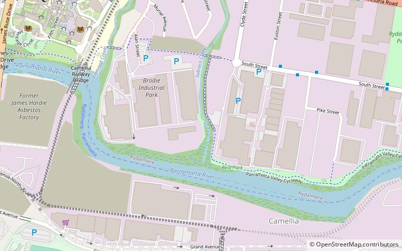
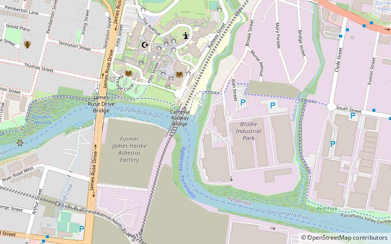
Ponds/Subiaco Creek, a joint northern tributary of the Parramatta River, is a creek north-west of Sydney Harbour, located in the Northern Suburbs region of Sydney, New South Wales, Australia. The Creek is also known as The Ponds and the Subiaco Creek respectively. It is followed by a walking track known as 'The Ponds Walk'. ()
Coordinates: 33°48'59"S, 151°1'52"E
Address
Parramatta (Rydalmere)Sydney
ContactAdd
Social media
Add
Getting there by public transportation
Public transportation stops near this location
- Bus
- Train
- Ferry
 Bus
Bus
- Calculate routeBridge Street, Rydalmere 12 min walk
- Calculate routeUWS Parramatta 14 min walk
- Calculate routeMyrtle Street 16 min walk
- Calculate routeArthur Street 17 min walk
- Calculate routeRydalmere Ferry Wharf 19 min walk
- Calculate routeParramatta Ferry Terminal 31 min walk
- Calculate routeGranville 41 min walk
Maps Sydney TrainsMaps
 Sydney Light RailMaps
 Sydney Ferries
Sydney TrainsMapsSydney Light RailMapsSydney FerriesDay trips


Frequently Asked Questions (FAQ)
Which popular attractions are close to Ponds and Subiaco Creek?
Nearby attractions include Vineyard Creek, Sydney (8 min walk), Rydalmere, Sydney (10 min walk), Rosehill Gardens Racecourse, Sydney (16 min walk), Macarthur House, Sydney (20 min walk).
How to get to Ponds and Subiaco Creek by public transport?
The nearest stations to Ponds and Subiaco Creek:
Bus
Ferry
Train
Bus
- Bridge Street, Rydalmere • Lines: 521, 523, 525, M52 (12 min walk)
- UWS Parramatta • Lines: 521, 523, 524, 525, M52 (14 min walk)
Ferry
- Rydalmere Ferry Wharf • Lines: F3 (19 min walk)
- Parramatta Ferry Terminal (31 min walk)
Train
- Granville (41 min walk)