Jeffcott Street, Adelaide
Map
Facts and practical information
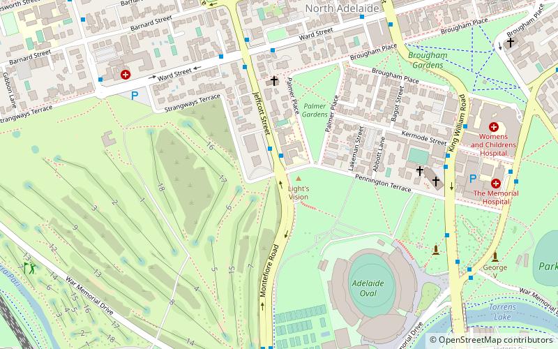
Jeffcott Street is a north-south street through the largest section of North Adelaide, South Australia. It goes around the sides of Wellington Square. The southern end continues south as Montefiore Road over a bridge over the River Torrens and Adelaide Metro railyards to connect with the northern end of Morphett Street. ()
Coordinates: 34°54'46"S, 138°35'36"E
Address
North AdelaideAdelaide
ContactAdd
Social media
Add
Getting there by public transportation
Public transportation stops near this location
- Bus
- Tram
- Train
 Bus
Bus
- Calculate routeStop 2 King William Road - West side 8 min walk
- Calculate routeStop 1 King William Road - West side 8 min walk
- Calculate routeStop 3 O Connell Street - West side 9 min walk
- Calculate routeStop 4 O Connell Street - West side 12 min walk
- Calculate routeAdelaide 16 min walk
- Calculate routeNorth Adelaide 20 min walk
- Calculate routeBowden 26 min walk
- Calculate routeMile End 29 min walk
- Calculate routeCity West 17 min walk
- Calculate routeAdelaide Railway Station Tram Stop 17 min walk
- Calculate routeRoyal Adelaide Hospital 19 min walk
- Calculate routeRundle Mall Tram Stop 20 min walk
Day trips


Frequently Asked Questions (FAQ)
Which popular attractions are close to Jeffcott Street?
Nearby attractions include Montefiore Hill, Adelaide (1 min walk), Strangways Terrace, Adelaide (2 min walk), Christ Church, Adelaide (5 min walk), Friends Meeting House, Adelaide (7 min walk).
How to get to Jeffcott Street by public transport?
The nearest stations to Jeffcott Street:
Bus
Train
Tram
Bus
- Stop 2 King William Road - West side • Lines: 224, 224F, 224X (8 min walk)
- Stop 1 King William Road - West side • Lines: 224, 224F, 224X (8 min walk)
Train
- Adelaide (16 min walk)
- North Adelaide (20 min walk)
Tram
- City West (17 min walk)
- Adelaide Railway Station Tram Stop (17 min walk)