West Melbourne Swamp, Melbourne
Map
Facts and practical information
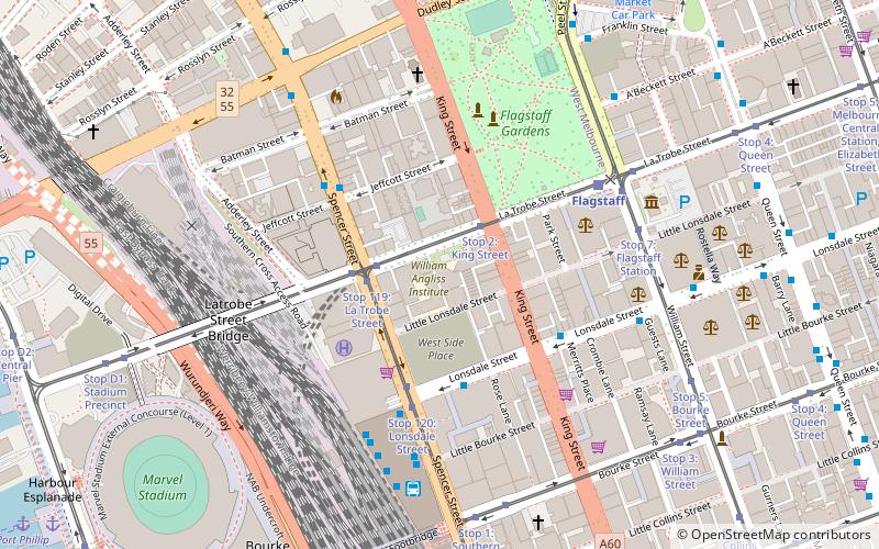
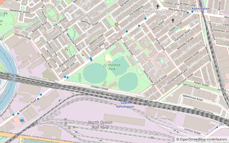
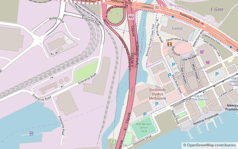
The West Melbourne Swamp also known as Batman's Swamp, was a large saltwater wetland located to the west of the city of Melbourne, Victoria. It was an important resource for Aboriginal people. ()
Coordinates: 37°48'48"S, 144°55'59"E
Address
City of Melbourne (Docklands)Melbourne
ContactAdd
Social media
Add
Day trips
West Melbourne Swamp – popular in the area (distance from the attraction)
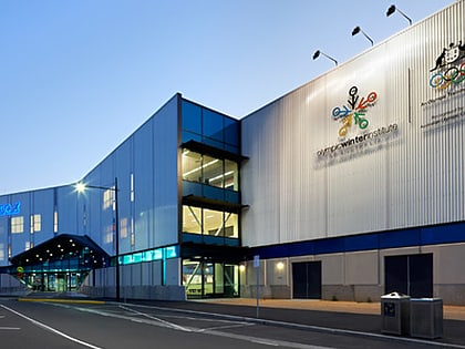
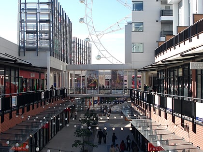
Nearby attractions include: Etihad Stadium, Icehouse, The District Docklands Shopping Precinct, Flagstaff Gardens.
Frequently Asked Questions (FAQ)
Which popular attractions are close to West Melbourne Swamp?
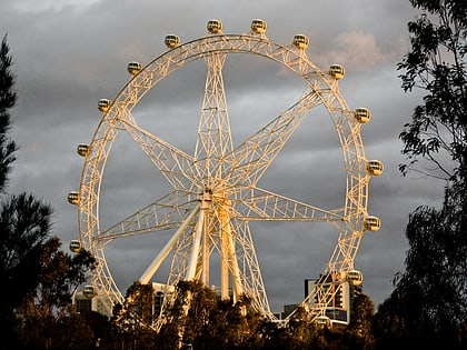
Nearby attractions include ArtVo, Melbourne (8 min walk), Melbourne Star, Melbourne (8 min walk), Bolte Bridge, Melbourne (11 min walk), Swanson Dock, Melbourne (14 min walk).
How to get to West Melbourne Swamp by public transport?
The nearest stations to West Melbourne Swamp:
Tram
Bus
Train
Ferry
Tram
- Stop D11: The District • Lines: 35, 70, 70d, 86, 86d (9 min walk)
- Stop D10: NewQuay Promenade • Lines: 35, 70, 70d, 86, 86d (12 min walk)
Bus
- Graham Street/Lorimer Street • Lines: 237 (15 min walk)
- Ingles Street/Lorimer Street • Lines: 237 (16 min walk)
Train
- North Melbourne (17 min walk)
- South Kensington (27 min walk)
Ferry
- Port Phillip Ferries (18 min walk)
 Melbourne Trams
 Victoria Trains
