Astone Lane, Perth
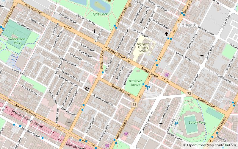
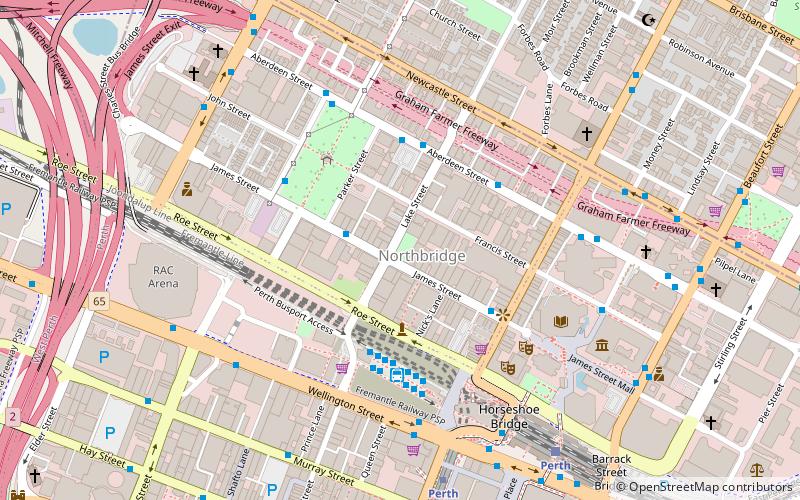
Map
Facts and practical information
Astone Lane was originally a right of way running between Brisbane Street and Baker Avenue in Perth, Western Australia. A proposal to name the right of way as Astone Lane was considered at the Town of Vincent council meeting in September 2006. The naming of the lane was in honour of Antonino Astone, a migrant from Raccuia, Sicily, who established a bootmaker business nearby on the corner of Brisbane and William Streets. Astone was a well-known identity in the community, and a pioneer in assisting migrants who arrived in Fremantle after World War II, many of them settling into the area. ()
Coordinates: 31°56'34"S, 115°51'53"E
Address
Perth CBDPerth
ContactAdd
Social media
Add
Getting there by public transportation
Public transportation stops near this location
- Bus
- Train
- Ferry
 Bus
Bus
- Calculate routeWilliam Street before Brisbane Street 2 min walk
- Calculate routeBeaufort Street after Brisbane Street 3 min walk
- Calculate routeMcIver 17 min walk
- Calculate routePerth 17 min walk
- Calculate routeClaisebrook 17 min walk
- Calculate routeEast Perth 19 min walk
- Calculate routeElizabeth Quay Ferry Terminal 31 min walk
Day trips


Frequently Asked Questions (FAQ)
Which popular attractions are close to Astone Lane?
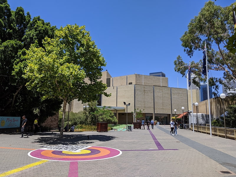
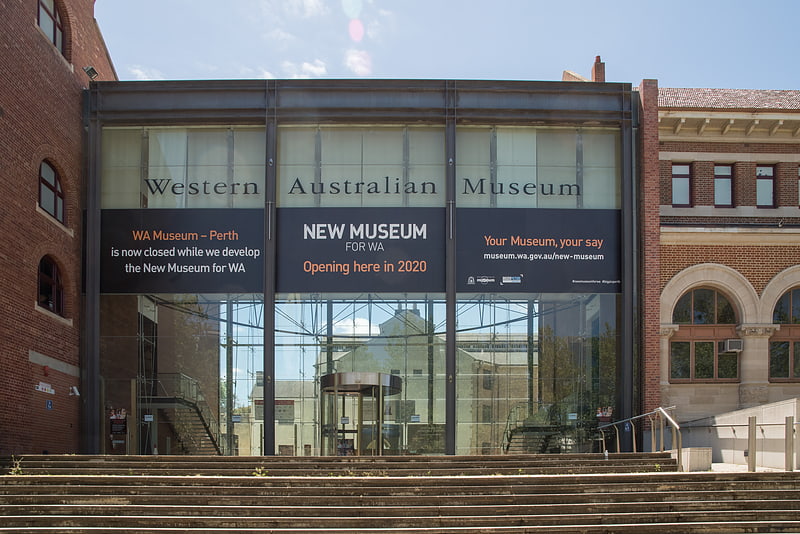
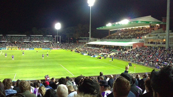
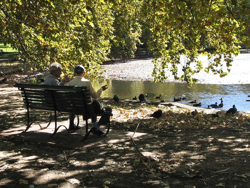
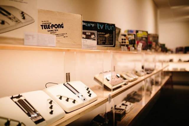
Nearby attractions include Perth Mosque, Perth (5 min walk), Hyde Park, Perth (9 min walk), The Nostalgia Box, Perth (10 min walk), nib Stadium, Perth (10 min walk).
How to get to Astone Lane by public transport?
The nearest stations to Astone Lane:
Bus
Train
Ferry
Bus
- William Street before Brisbane Street • Lines: 60 (2 min walk)
- Beaufort Street after Brisbane Street • Lines: 67, 68 (3 min walk)
Train
- McIver (17 min walk)
- Perth (17 min walk)
Ferry
- Elizabeth Quay Ferry Terminal • Lines: Transperth Ferry - Elizabeth Qua, Transperth Ferry - Mends Street (31 min walk)