Wattle Island, Wilsons Promontory National Park

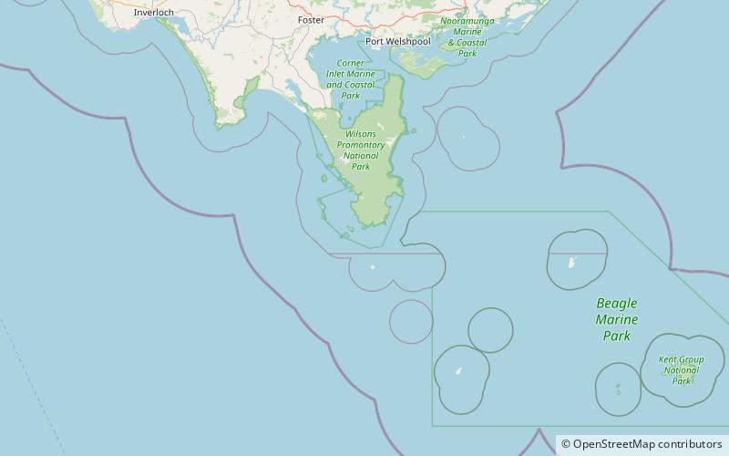
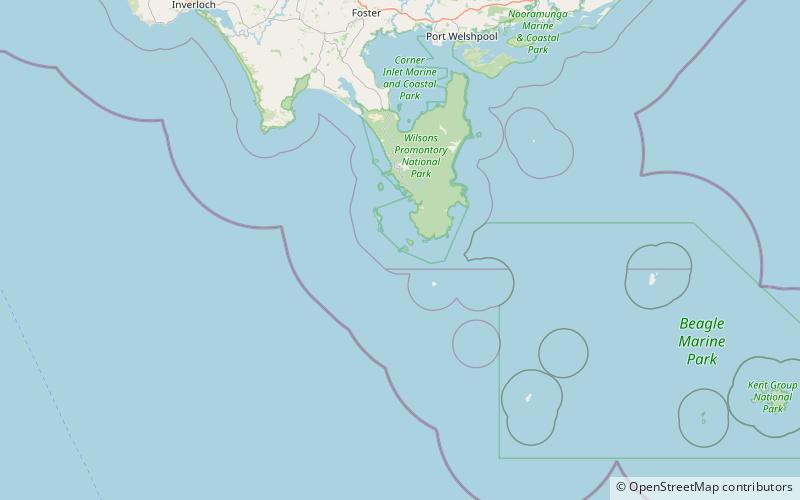
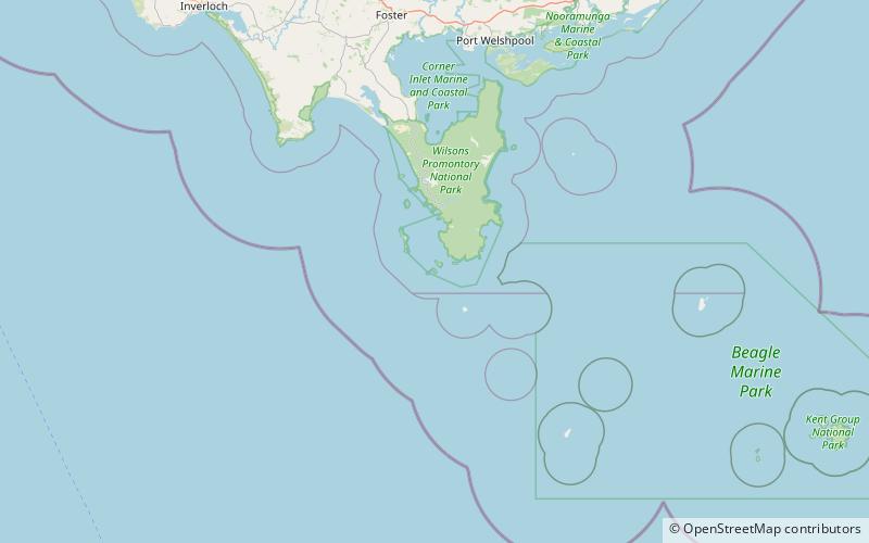
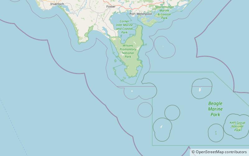
Map
Facts and practical information
Wattle Island, is a small, granite island located approximately 0.5 kilometres south of Wilsons Promontory in Victoria, Australia. ()
Coordinates: 39°8'21"S, 146°21'41"E
Address
Wilsons Promontory National Park
ContactAdd
Social media
Add
Day trips
Wattle Island – popular in the area (distance from the attraction)
Nearby attractions include: Wilsons Promontory Lighthouse, Cleft Island, Kanowna Island, Anser Island.


