Trek Zone

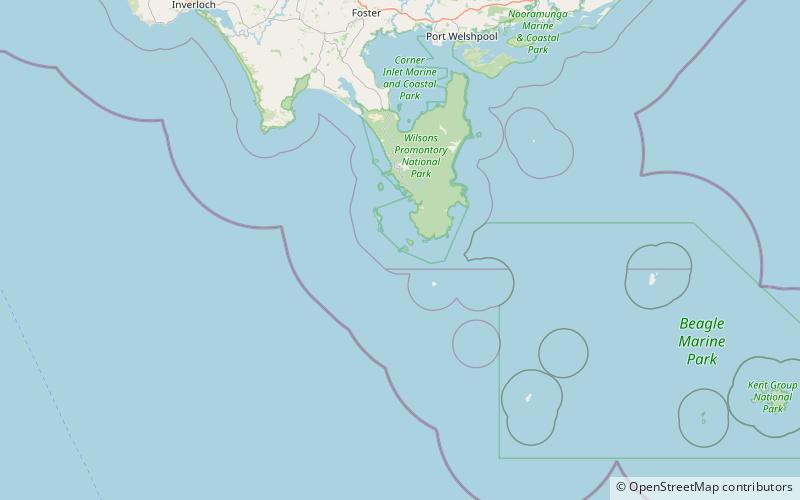
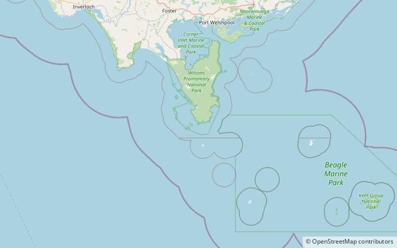
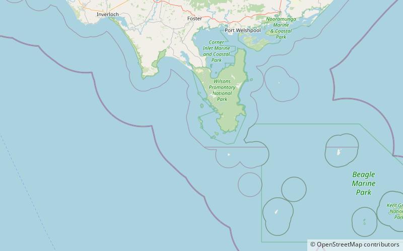
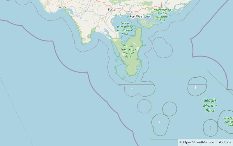
Anser Island, Wilsons Promontory

#5 among attractions in Wilsons Promontory

Island
Anser Island location map
Map

Facts and practical information
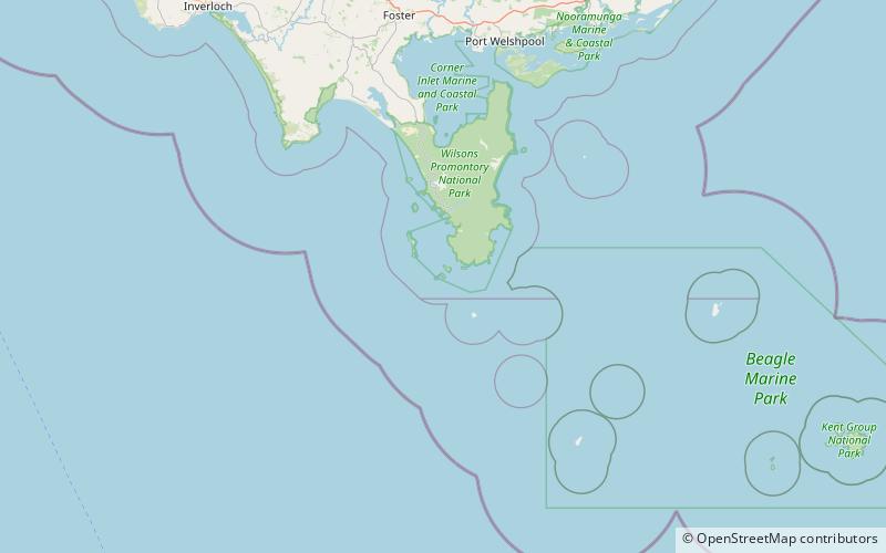
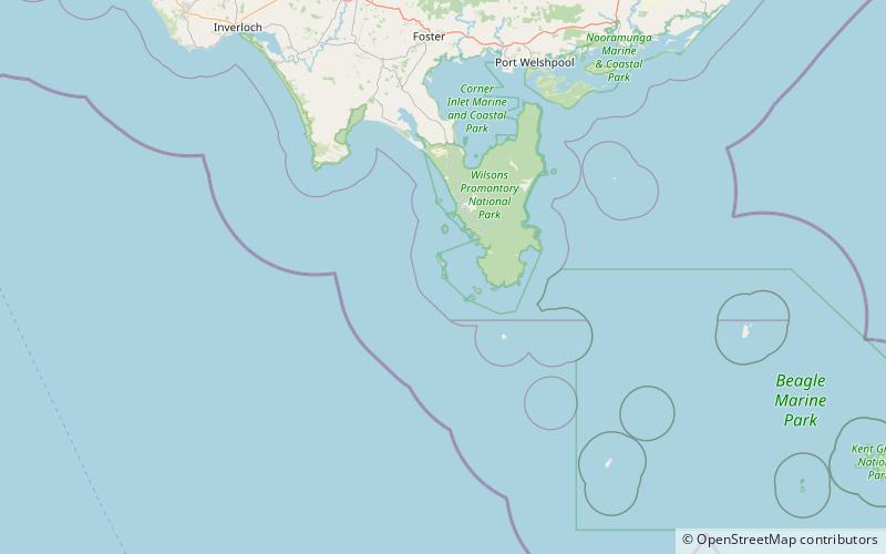
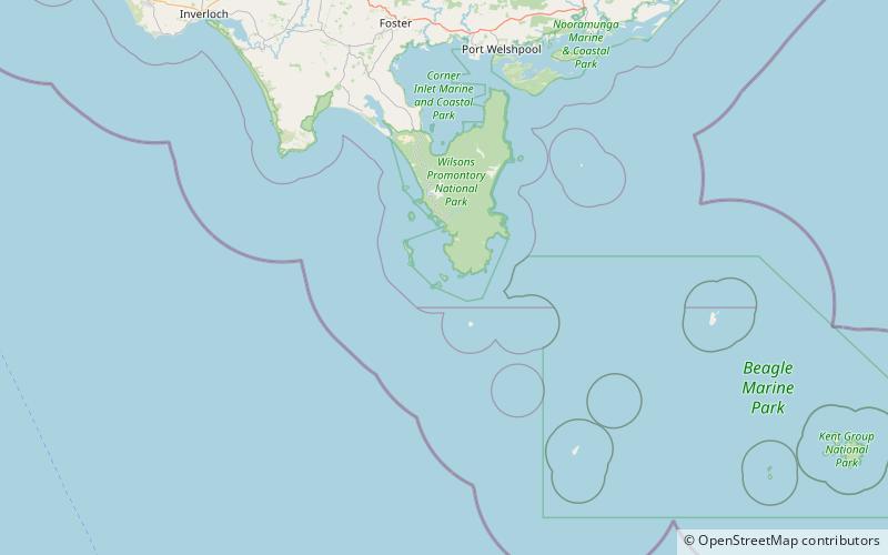
Alternative names: Area: 182.86 acres (0.2857 mi²)Maximum elevation: 499 ftCoordinates: 39°8'27"S, 146°19'19"E
Address

Wilsons Promontory Australia

ContactAdd
Social media
Add
Day trips

Anser Island – popular in the area (distance from the attraction)

Nearby attractions include: Wilsons Promontory Lighthouse, Cleft Island, Wattle Island, Dannevig Island.

  • wilsons promontory lighthouse5.5 miE
  • cleft island wilsons promontory national park location map
    1.9 miSW
  • wattle island wilsons promontory national park location map
    2.1 miE
  • dannevig island wilsons promontory national park location map
    5.1 miNW
  • mchugh island wilsons promontory national park location map
    4.6 miW
  • citadel island wilsons promontory4.8 miW
  • kanowna island wilsons promontory location map
    1.1 miSW
  • citadel island lighthouse wilsons promontory location map
    4.9 miW

Where to next? Visit victoria Victoria region page or discover the top tourist attractions in Australia.