Cleft Island, Wilsons Promontory National Park
Map
Facts and practical information
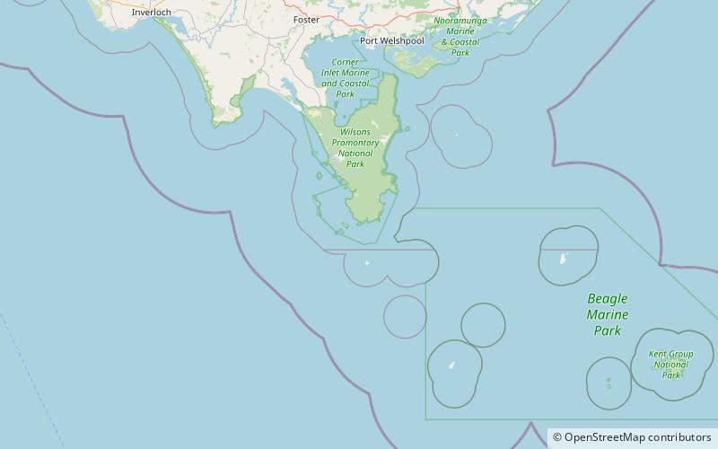
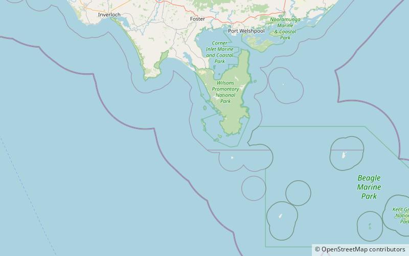
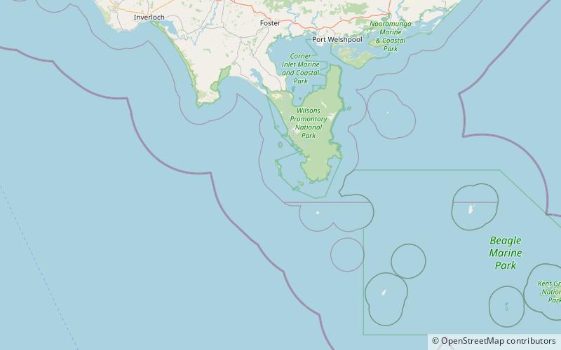
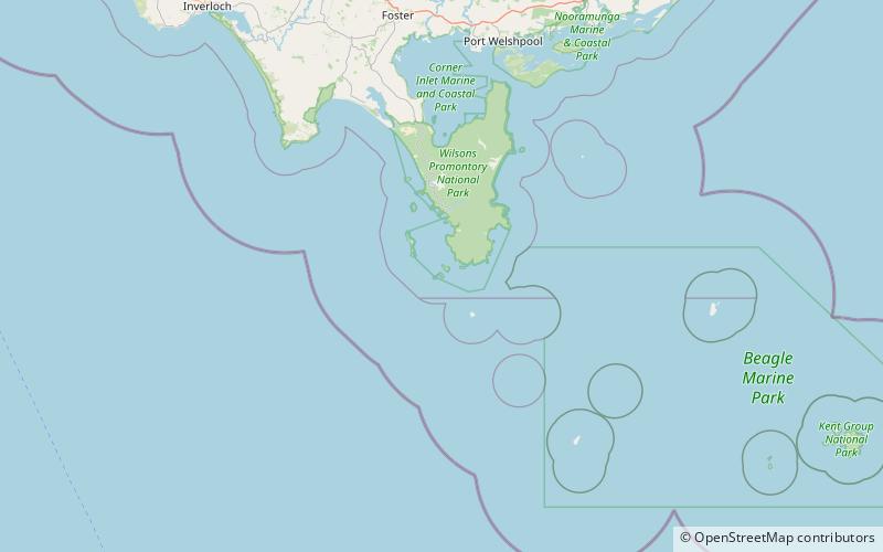
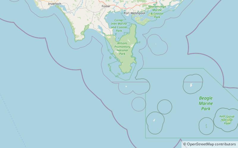
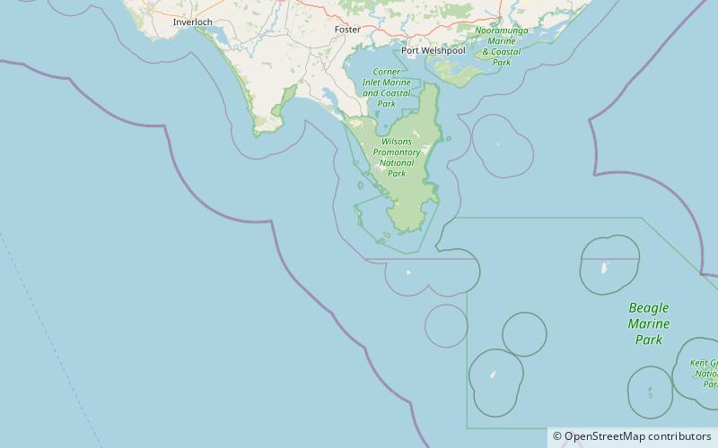
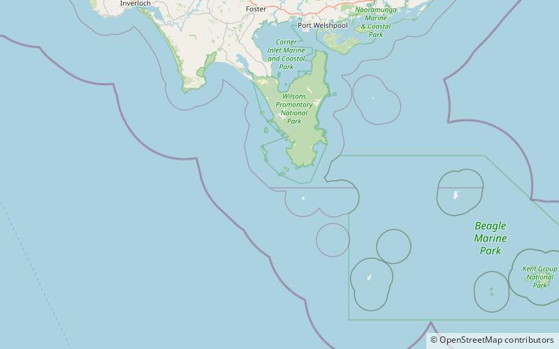
Cleft Island, also known as Skull Rock, is a small, rugged, granite island in the Anser group of islands to the south-west of Wilsons Promontory, Victoria, Australia. ()
Coordinates: 39°9'28"S, 146°17'42"E
Address
Wilsons Promontory National Park
ContactAdd
Social media
Add
Day trips