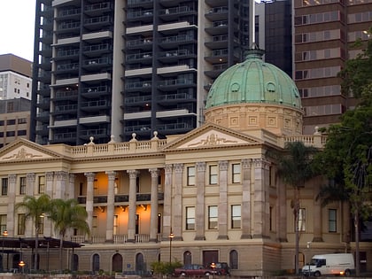
Riverside Centre, Brisbane
Map

Map

Facts and practical information
Completed: 1986 (40 years ago)Floors: 40Coordinates: 27°28'2"S, 153°1'48"E
Day trips
Riverside Centre – popular in the area (distance from the attraction)
Nearby attractions include: QueensPlaza, Brisbane Arcade, Wintergarden, MacArthur Central.
Frequently Asked Questions (FAQ)
Which popular attractions are close to Riverside Centre?
Nearby attractions include One One One Eagle Street, Brisbane (1 min walk), Eagle Street Fig Trees, Brisbane (1 min walk), Riparian Plaza, Brisbane (2 min walk), Central Plaza Complex, Brisbane (2 min walk).
How to get to Riverside Centre by public transport?
The nearest stations to Riverside Centre:
Bus
Ferry
Train
Bus
- Eagle Street near Creek St, stop 62 • Lines: P331 (1 min walk)
- Eagle St near Eagle Lane • Lines: 475 (1 min walk)
Ferry
- Eagle Street Pier Ferry Terminal • Lines: Chop-400, Xrvr-400 (4 min walk)
- Holman Street Ferry Terminal • Lines: Chop-400, Xrvr-400 (7 min walk)
Train
- Central (7 min walk)
- Roma Street (19 min walk)


