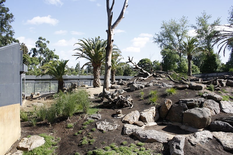
The Cheese Stick, Melbourne
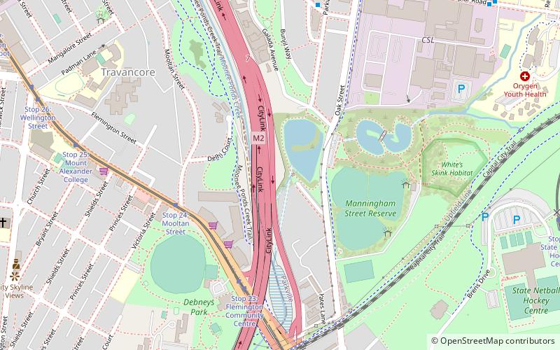
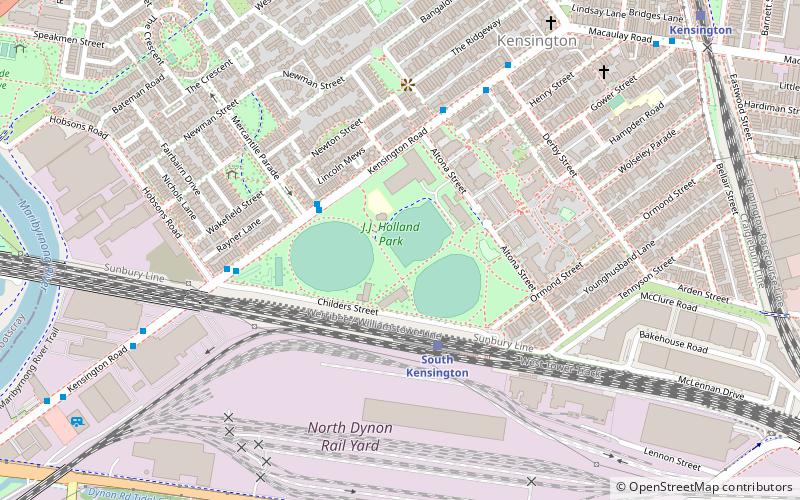
Map
Facts and practical information
Coordinates: 37°46'60"S, 144°56'25"E
Address
City of Melbourne (Parkville)Melbourne
ContactAdd
Social media
Add
Getting there by public transportation
Public transportation stops near this location
- Bus
- Tram
- Train
 Bus
Bus
- Calculate routeStop 24: Mooltan Street 5 min walk
- Calculate routeStop 23: Flemington Community Centre 5 min walk
- Calculate routeStop 22: Flemington Bridge Station 9 min walk
- Calculate routeStop 25: Mount Alexander College 9 min walk
- Calculate routeParkville Avenue/Garrard Street 8 min walk
- Calculate routeAuckland Lane/Cade Way 9 min walk
- Calculate routeRoyal Melbourne Hospital Royal Park/Poplar Road 12 min walk
- Calculate routeMercy Health Aged Care/William Street 13 min walk
- Calculate routeFlemington Bridge 9 min walk
- Calculate routeNewmarket 18 min walk
- Calculate routeRoyal Park 18 min walk
- Calculate routeMacaulay 22 min walk
Maps Melbourne TramsMaps
 Victoria Trains
Melbourne TramsMapsVictoria TrainsDay trips


Frequently Asked Questions (FAQ)
Which popular attractions are close to The Cheese Stick?
Nearby attractions include Royal Park, Melbourne (16 min walk), Melbourne Zoo, Melbourne (17 min walk), Kensington Town Hall, Melbourne (20 min walk), Flemington Road, Melbourne (23 min walk).
How to get to The Cheese Stick by public transport?
The nearest stations to The Cheese Stick:
Tram
Bus
Train
Tram
- Stop 24: Mooltan Street • Lines: 58d, 59, 59a, 59d (5 min walk)
- Stop 23: Flemington Community Centre • Lines: 58d, 59, 59a, 59d (5 min walk)
Bus
- Parkville Avenue/Garrard Street • Lines: 505 (8 min walk)
- Auckland Lane/Cade Way • Lines: 505 (9 min walk)
Train
- Flemington Bridge (9 min walk)
- Newmarket (18 min walk)