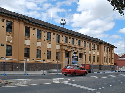
Bombay Rock, Melbourne
Map
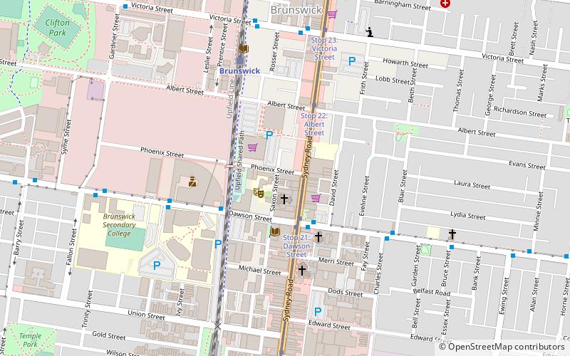
Map

Facts and practical information
The Bombay Rock is a rock music venue located on Sydney Road, Brunswick, Victoria, Australia, which originally ran from 1977 until it was destroyed by a fire in 1991. The venue had previously been located in Bourke Street in the city under the name of the Bombay Bicycle Club. Operated by Joe Gualtieri, it was described in the 1980s as "…an old style rock barn … with all the style and grace of a converted factory" and was to the working class, what Billboard was to the Middle Class. ()
Coordinates: 37°46'14"S, 144°57'39"E
Address
Moreland (Brunswick)Melbourne
ContactAdd
Social media
Add
Day trips
Bombay Rock – popular in the area (distance from the attraction)
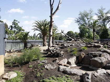
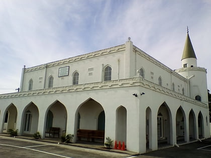
Nearby attractions include: Melbourne Zoo, Albanian Mosque, Royal Park, Islamic Museum of Australia.
Frequently Asked Questions (FAQ)
Which popular attractions are close to Bombay Rock?
Nearby attractions include Brunswick Town Hall, Melbourne (3 min walk), Brunswick Town Hall and Counihan Gallery, Melbourne (3 min walk), Melbourne/Brunswick and Coburg, Melbourne (8 min walk), BeinArt Gallery, Melbourne (8 min walk).
How to get to Bombay Rock by public transport?
The nearest stations to Bombay Rock:
Tram
Bus
Train
Tram
- Stop 21: Glenlyon Road • Lines: 19 (2 min walk)
- Stop 22: Albert Street • Lines: 19 (4 min walk)
Bus
- Sydney Road/Glenlyon Road • Lines: 506 (3 min walk)
- 18 Dawson Street • Lines: 506 (3 min walk)
Train
- Brunswick (6 min walk)
- Jewell (9 min walk)
 Melbourne Trams
 Victoria Trains