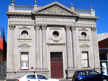
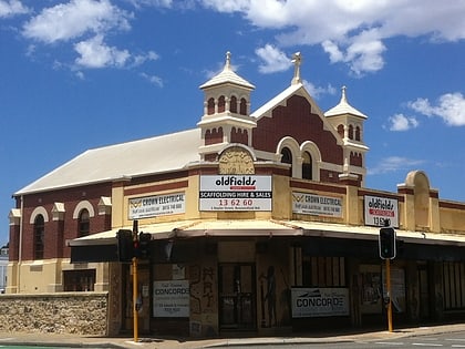
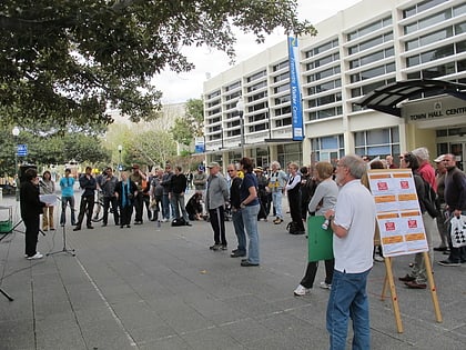
Queens Square, Perth
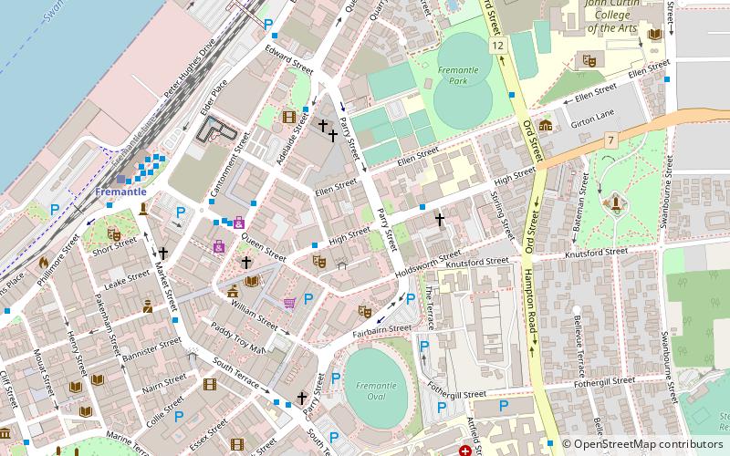
Map
Facts and practical information
Queens Square, also known as Queen's Square, is a town square in Fremantle, Western Australia. It is located at the intersection of High Street and Parry Street, both of which bisect the square. The square was originally a single space, but was divided into four sections due to the extensions of High and Parry Streets, completed in 1886. Today Queens Square still functions as a public open space for residents of Fremantle. ()
Coordinates: 32°3'11"S, 115°45'4"E
Address
FremantlePerth
ContactAdd
Social media
Add
Day trips
Queens Square – popular in the area (distance from the attraction)
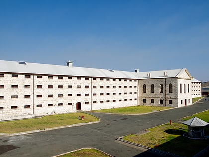
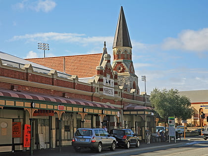
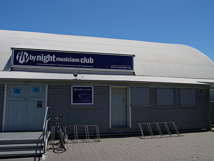
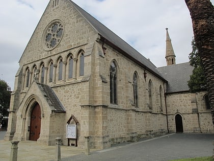
Nearby attractions include: Fremantle Prison, Fremantle Markets, Fly by Night Club, St John's Anglican Church.
Frequently Asked Questions (FAQ)
Which popular attractions are close to Queens Square?
Nearby attractions include Modern Ink Fremantle, Perth (2 min walk), Victoria Hall, Perth (2 min walk), St Patrick's Basilica, Perth (4 min walk), St John's Anglican Church, Perth (5 min walk).
How to get to Queens Square by public transport?
The nearest stations to Queens Square:
Bus
Train
Ferry
Bus
- Kings Square • Lines: 6 (2 min walk)
- CBC Fremantle • Lines: 6 (3 min walk)
Train
- Fremantle (9 min walk)
Ferry
- B Shed • Lines: Express, SeaLink (14 min walk)
