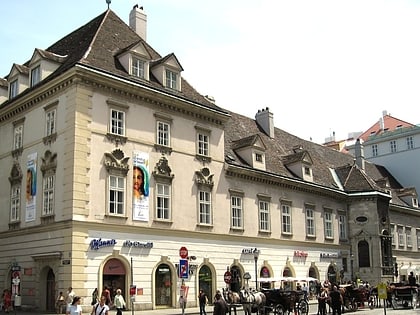
Hofkriegsrat, Vienna
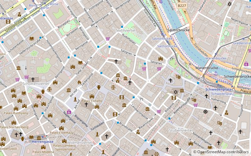
Map
Facts and practical information
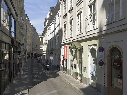
The Hofkriegsrat established in 1556 was the central military administrative authority of the Habsburg monarchy until 1848 and the predecessor of the Austro-Hungarian Ministry of War. The agency was directly subordinated to the Habsburg emperors with its seat in Vienna. ()
Address
Wipplingerstrasse 6-8Innere Stadt (Stubenviertel)Vienna 1010
Contact
+43 1 22894693
Social media
Add
Day trips
Hofkriegsrat – popular in the area (distance from the attraction)
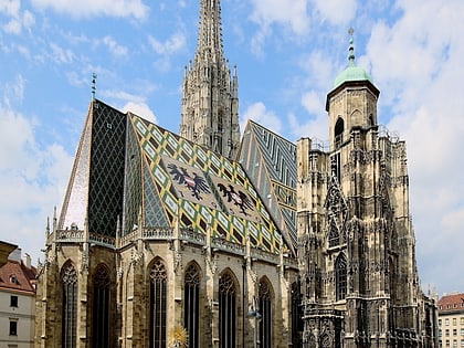
Nearby attractions include: Graben, St. Stephen's Cathedral, Pestsäule, Dorotheergasse.
Frequently Asked Questions (FAQ)
Which popular attractions are close to Hofkriegsrat?
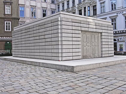
Nearby attractions include Maria am Gestade, Vienna (2 min walk), Judenplatz, Vienna (3 min walk), Judenplatz, Vienna (3 min walk), Römermuseum, Vienna (4 min walk).
How to get to Hofkriegsrat by public transport?
The nearest stations to Hofkriegsrat:
Bus
Tram
Ferry
Metro
Light rail
Train
Bus
- Hoher Markt • Lines: 1A, 3A (2 min walk)
- Schwertgasse • Lines: 1A, 3A (2 min walk)
Tram
- Salztorbrücke • Lines: 1 (5 min walk)
- Marienbrücke • Lines: 2 (8 min walk)
Ferry
- Nationalparkboot Lobau (7 min walk)
Metro
- Stephansplatz • Lines: U1, U3 (7 min walk)
- Schwedenplatz • Lines: U1, U4 (9 min walk)
Light rail
- Oper, Karlsplatz • Lines: 62, Wlb (18 min walk)
- Karlsplatz • Lines: 1, 62, Wlb (21 min walk)
Train
- Wien Mitte (19 min walk)
- Wien Praterstern (28 min walk)


