Innere Stadt, Vienna
Map
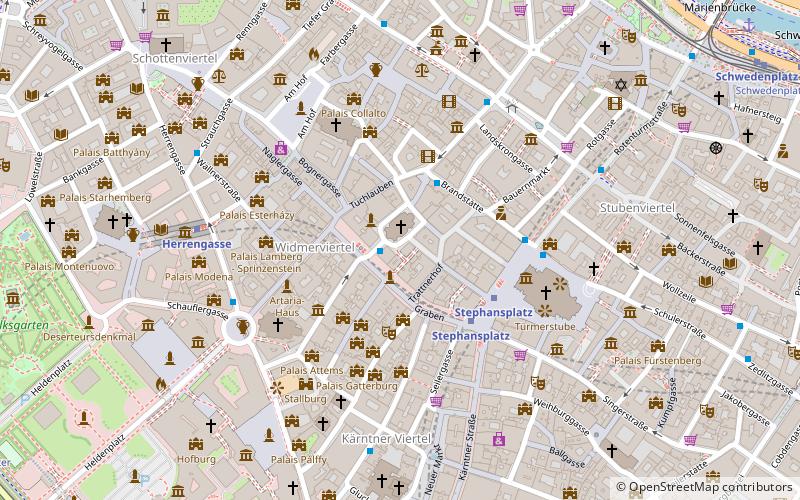
Map

Facts and practical information
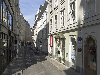
The Innere Stadt is the 1st municipal district of Vienna located in the center of the Austrian capital. The Innere Stadt is the old town of Vienna. Until the city boundaries were expanded in 1850, the Innere Stadt was congruent with the city of Vienna. Traditionally it was divided into four quarters, which were designated after important town gates: Stubenviertel, Kärntner Viertel, Widmerviertel, Schottenviertel. ()
Day trips
Innere Stadt – popular in the area (distance from the attraction)
Nearby attractions include: Graben, St. Stephen's Cathedral, Stock im Eisen, Pestsäule.
Frequently Asked Questions (FAQ)
Which popular attractions are close to Innere Stadt?
Nearby attractions include Peterskirche, Vienna (1 min walk), Pestsäule, Vienna (1 min walk), Deckergasse, Vienna (2 min walk), Graben, Vienna (2 min walk).
How to get to Innere Stadt by public transport?
The nearest stations to Innere Stadt:
Bus
Metro
Tram
Ferry
Light rail
Train
Bus
- Graben/Petersplatz • Lines: 1A, 2A (1 min walk)
- Brandstätte • Lines: 1A, 2A, 3A (2 min walk)
Metro
- Stephansplatz • Lines: U1, U3 (3 min walk)
- Herrengasse • Lines: U3 (6 min walk)
Tram
- Salztorbrücke • Lines: 1 (10 min walk)
- Schwedenplatz • Lines: 1, 2, Vrt (11 min walk)
Ferry
- Nationalparkboot Lobau (13 min walk)
Light rail
- Oper, Karlsplatz • Lines: 62, Wlb (13 min walk)
- Karlsplatz • Lines: 1, 62, Wlb (16 min walk)
Train
- Wien Mitte (18 min walk)
- Wien Rennweg (31 min walk)


