Rosenschlößl, Graz
Map
Gallery

Facts and practical information
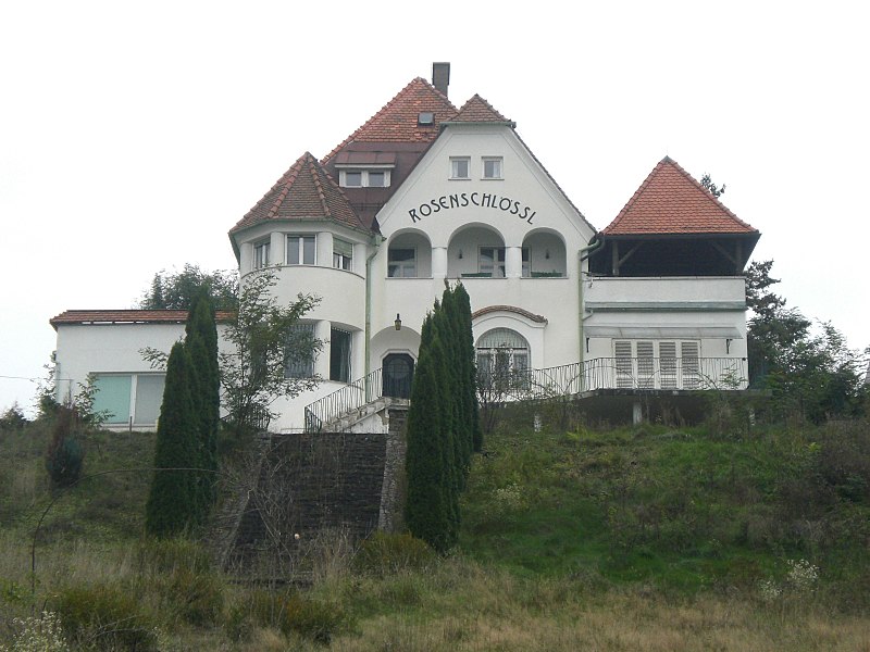
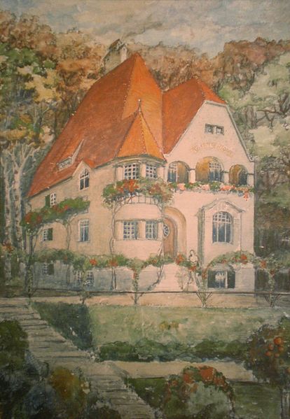
The Rosenschlößl is a small castle with servants' quarters on the Rosenberg in the eleventh district of Mariatrost in Graz. The "Rosenschlößlweg" has also been named after this structure since 1948.
Coordinates: 47°5'54"N, 15°26'56"E
Address
8 RosenschlößlwegMariatrostGraz
ContactAdd
Social media
Add
Day trips
Rosenschlößl – popular in the area (distance from the attraction)
Nearby attractions include: Landeskrankenhauskirche zum Heiligsten Erlöser, Salvatorkirche, Kirche Sankt Ulrichsbrunn, Grabenkirche.
Frequently Asked Questions (FAQ)
Which popular attractions are close to Rosenschlößl?
Nearby attractions include Filialkirche Mariagrün, Graz (4 min walk), Minoritenschlössl, Graz (14 min walk), Pfarrkirche Maria Verkündigung, Graz (23 min walk).
How to get to Rosenschlößl by public transport?
The nearest stations to Rosenschlößl:
Bus
Tram
Bus
- Stoffbauerweg • Lines: 81 (2 min walk)
- Volksschule Mariagrün • Lines: 81, 83 (4 min walk)
Tram
- Mariagrün • Lines: 1 (21 min walk)
- Kroisbach • Lines: 1 (22 min walk)


