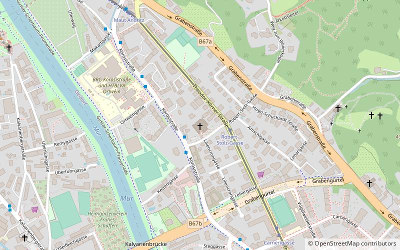
Salvatorkirche, Graz
Map

Map

Facts and practical information
Salvatorkirche, also Pfarrkirche Graz-Christus der Salvator, is a Roman Catholic church in the third district of Geidorf in Graz. It was an exposition of the Graben parish and was elevated to an independent parish in 1981, and is the parish church of the parish Graz-Christus der Salvator in the deanery Graz-Ost of the Stadtkirche Graz. It is also home to Salvator College Graz, the Graz branch of the Salvatorian SDS.
Architectural style: ModernCoordinates: 47°5'26"N, 15°25'34"E
Day trips
Salvatorkirche – popular in the area (distance from the attraction)
Nearby attractions include: Schlossberg, Murinsel, Clock Tower, Innere Stadt.
Frequently Asked Questions (FAQ)
Which popular attractions are close to Salvatorkirche?
Nearby attractions include Kirche Sankt Ulrichsbrunn, Graz (12 min walk), Lend, Graz (23 min walk), Geidorf, Graz (23 min walk), Grabenkirche, Graz (23 min walk).
How to get to Salvatorkirche by public transport?
The nearest stations to Salvatorkirche:
Bus
Tram
Train
Bus
- Kettengasse • Lines: 110, 41, 53 (2 min walk)
- Robert-Stolz-Gasse • Lines: N5 (2 min walk)
Tram
- Robert-Stolz-Gasse • Lines: 3, 5 (2 min walk)
- Carnerigasse • Lines: 3, 5 (7 min walk)
Train
- Schloßbergbahn Bergstation (29 min walk)
- Schloßbergbahn (30 min walk)


