Jewish Cemetery Krems, Krems
Map

Gallery

Facts and practical information
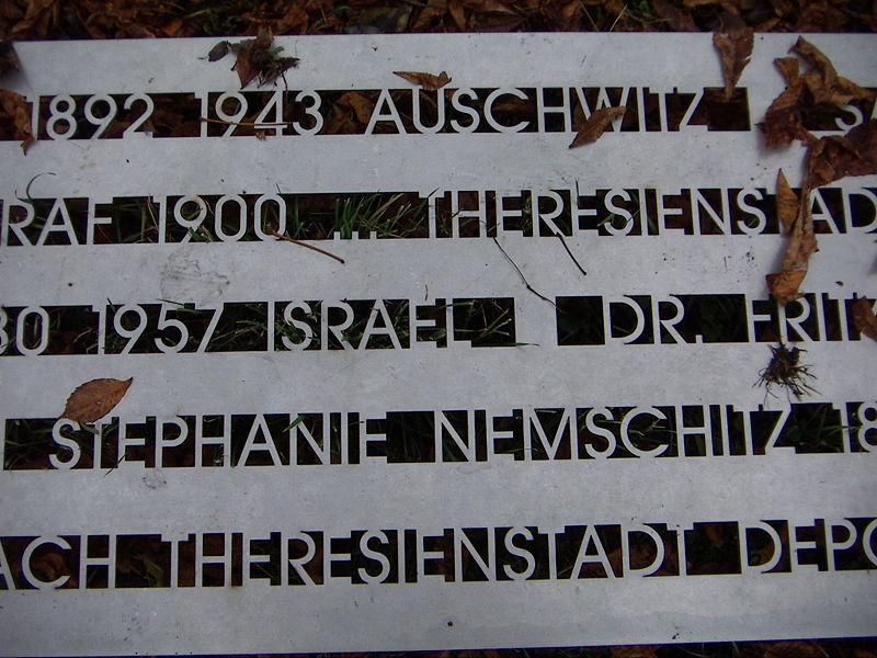
The Jewish Cemetery Krems in Krems on the Danube became the main burial place of the Jewish Community Krems when it was built in 1880/81. The cemetery is listed as a historical monument.
Coordinates: 48°25'2"N, 15°37'26"E
Address
Wiener StraßeKrems
ContactAdd
Social media
Add
Day trips
Jewish Cemetery Krems – popular in the area (distance from the attraction)
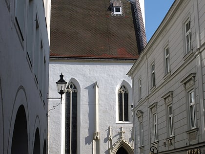
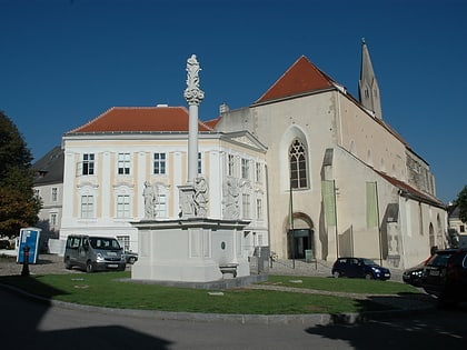
Nearby attractions include: Gozzoburg, Piaristenkirche, Pfarrkirche St.Paul, Church of St. Veit.
Frequently Asked Questions (FAQ)
Which popular attractions are close to Jewish Cemetery Krems?
Nearby attractions include War Memorial, Krems (11 min walk), Pfarrkirche St.Paul, Krems (18 min walk).
How to get to Jewish Cemetery Krems by public transport?
The nearest stations to Jewish Cemetery Krems:
Bus
Train
Bus
- Krems Bründlgraben/EKZ • Lines: 2 (6 min walk)
- Krems Hans-Czettel-Hof • Lines: 3, 7, 703, 708, 806 (6 min walk)
Train
- Krems a. d. Donau (27 min walk)


