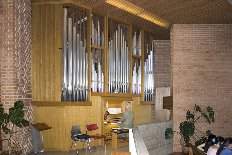
Pfarrkirche St.Paul, Krems

Gallery (3)
Map
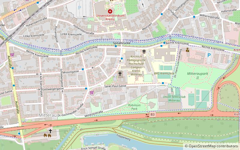
Map
Gallery
Facts and practical information
The Parish Church of St. Paul is the Roman Catholic church in the Mitterau district of Krems an der Donau.
Coordinates: 48°24'32"N, 15°36'59"E
Getting there by public transportation
Public transportation stops near this location
- Bus
- Train
 Bus
Bus
- Calculate routeKrems Dr.-Gschmeidler-Straße 2 min walk
- Calculate routeKrems Spitalbrücke 3 min walk
- Calculate routeKrems Göttweiger Gasse 4 min walk
- Calculate routeKrems Johann-Bacher-Gasse 4 min walk
- Calculate routeKrems a. d. Donau 14 min walk
Day trips


Frequently Asked Questions (FAQ)
Which popular attractions are close to Pfarrkirche St.Paul?
Nearby attractions include War Memorial, Krems (7 min walk), Jewish Cemetery Krems, Krems (18 min walk), Gozzoburg, Krems (18 min walk), Church of St. Veit, Krems (20 min walk).
How to get to Pfarrkirche St.Paul by public transport?
The nearest stations to Pfarrkirche St.Paul:
Bus
Train
Bus
- Krems Dr.-Gschmeidler-Straße • Lines: 2, 7 (2 min walk)
- Krems Spitalbrücke • Lines: 7 (3 min walk)
Train
- Krems a. d. Donau (14 min walk)