Mühlschlössl, Graz
Map

Map

Facts and practical information
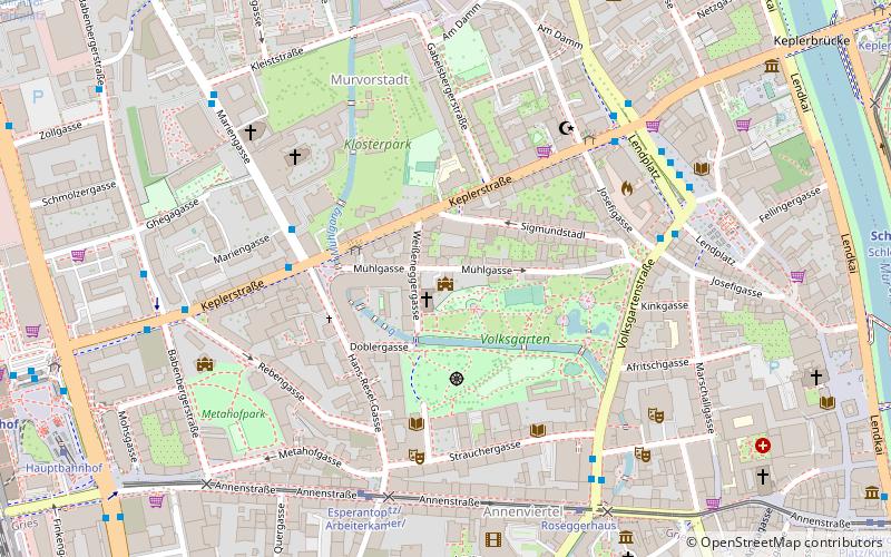
The Mühl-Schlössl is a small castle on the edge of the Volksgarten in Graz, in the fourth district of Lend. Immediately adjacent to it is the Evangelical Church of the Holy Cross, as whose rectory the little castle was adapted in 1910.
Coordinates: 47°4'27"N, 15°25'33"E
Address
43 MühlgasseLendGraz
ContactAdd
Social media
Add
Day trips
Mühlschlössl – popular in the area (distance from the attraction)
Nearby attractions include: Kunsthaus, Schlossberg, Murinsel, Franciscan Church.
Frequently Asked Questions (FAQ)
Which popular attractions are close to Mühlschlössl?
Nearby attractions include Church of the Holy Cross, Graz (1 min walk), Galerie Blaues Atelier, Graz (6 min walk), Lazaristenkirche zur Schmerzhaften Mutter, Graz (6 min walk), Orpheum, Graz (6 min walk).
How to get to Mühlschlössl by public transport?
The nearest stations to Mühlschlössl:
Bus
Tram
Train
Bus
- Marienplatz • Lines: 53, 58, 63 (3 min walk)
- Volksgartenstraße • Lines: 40, 67, 67E, N3 (6 min walk)
Tram
- Esperantoplatz/Arbeiterkammer • Lines: 1, 4, 6, 7 (6 min walk)
- Roseggerhaus • Lines: 1, 4, 6, 7 (7 min walk)
Train
- Schloßbergbahn (12 min walk)
- Graz Hauptbahnhof (12 min walk)


