Ramsau im Zillertal
#1792 among destinations in Austria
![Ramsau im Zillertal location map](https://tzmedia.b-cdn.net/media/images/static-maps/at/47_2041_11_875.jpg)
Facts and practical information
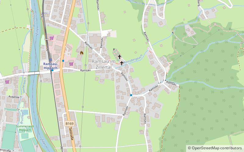
Ramsau im Zillertal is a municipality in the Schwaz district in the Austrian state of Tyrol. ()
Ramsau im Zillertal plan & book
Unleash the traveler in you — discover the cheapest flight deals, find the perfect hotel or hostel nearby, and search for the best car rental prices. Travel at your own pace to discover new places and enjoy your journey.
Ramsau im Zillertal – popular in the area (distance from the attraction)
Nearby attractions include: Harakiri, Erlebnisbad Mayrhofen, Penken, Kreuzjoch.
3.9 miSWWinter sport, Ski areaHarakiri
101 min walk • Nestled in the heart of the Austrian Alps, Harakiri is a renowned destination for avid skiers seeking the ultimate adrenaline rush. Named after the infamous Japanese term for ritual suicide, Harakiri boasts the steepest slope in Austria, with an incline of up to 78...
2.8 miS47°9'51"N • 11°51'54"EErlebnisbad Mayrhofen, Mayrhofen
72 min walk • Watersports, Water park, Swimming
4.3 miSWNatural featurePenken, Mayrhofen
110 min walk • The Penken is a mountain area in the Ziller Valley located in the Austrian Tyrol. The Penken can be reached by modern cable car from the village of Mayrhofen.
6 miNENature, Natural attraction, MountainKreuzjoch
154 min walk • At 2,558 m above sea level the Kreuzjoch is the highest peak in the Kitzbühel Alps in the Austrian state of Tyrol. The Kreuzjoch also forms the southwestern end of the Kitzbühel Alps. To the west it is bounded by the Ziller valley, to the southeast by the Gerlos valley. The Kreuzjoch's neighbouring peak is the Torhelm.
~1880 ftSW 4.2 miSWLocalityFinkenberg
108 min walk • One of the main attractions in Finkenberg is the Finkenberger Almbahnen, a cable car that takes visitors up to the breathtaking heights of the Zillertal Alps. From here, you can enjoy panoramic views of the surrounding mountains and valleys, and embark on hiking...
6.3 miSWAlpine hut, HikingGamshütte
162 min walk • The Gamshütte is a refuge of the Otterfing Section of the German Alpine Club in the Zillertal Alps at 1921 m above sea level above Dornauberg, a district of Finkenberg in the Austrian state of Tyrol.
5.2 miSAlpine hut, HikingEdelhütte
133 min walk • The Karl-von-Edel-Hütte, usually referred to as Edelhütte for short, is a category I refuge of the Würzburg Section of the German Alpine Club at 2238 m above sea level. It is the starting point for numerous mountain hikes in the Zillertal Alps.
4.2 miNTownAschau im Zillertal
107 min walk • Aschau im Zillertal is a municipality in the Schwaz district in the Austrian state of Tyrol.
4.5 miNWAlpine hut, HikingRastkogelhütte
115 min walk • The Rastkogelhütte is an alpine club hut of the Oberkochen section of the German Alpine Club.
2.1 miNLocalityZellberg
55 min walk • Zellberg is a municipality in the Schwaz district in the Austrian state of Tyrol.