Gamshütte

Gallery (1)
Map
Map
Facts and practical information
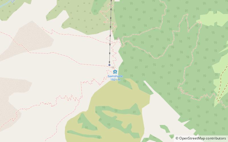
The Gamshütte is a refuge of the Otterfing Section of the German Alpine Club in the Zillertal Alps at 1921 m above sea level above Dornauberg, a district of Finkenberg in the Austrian state of Tyrol.
Coordinates: 47°7'47"N, 11°47'44"E
Day trips