Bichlalm, Hintertux

Gallery (2)
Map
Map
Gallery
Facts and practical information
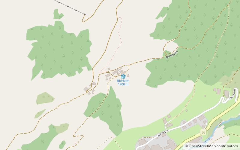
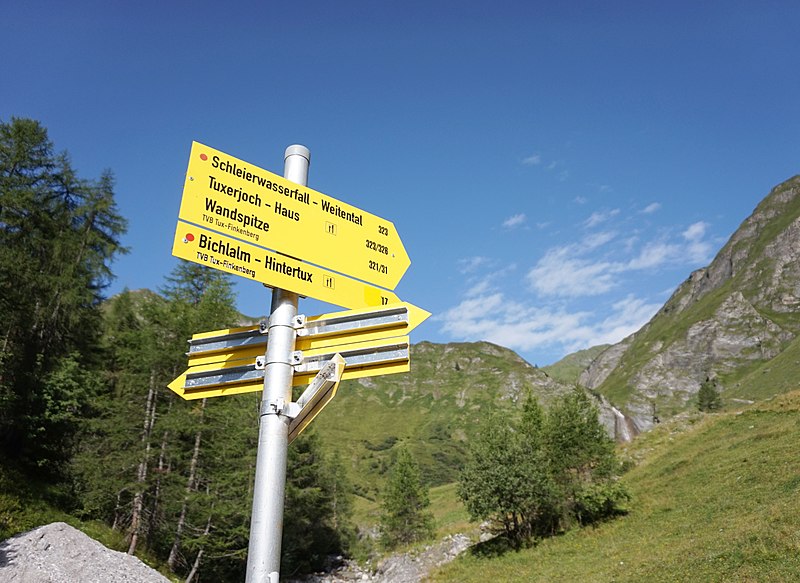
Bichlalm (address: Hintertux 770, 6294 Hintertux) is a place located in Hintertux (Tyrol state) and belongs to the category of hiking, alpine hut.
It is situated at an altitude of 5574 feet, and its geographical coordinates are 47°7'8"N latitude and 11°40'44"E longitude.
Among other places and attractions worth visiting in the area are: Tuxer Joch (nature, 50 min walk), Hintertux Glacier (winter sport, 62 min walk), Spannagel Cave (natural attraction, 69 min walk).
Coordinates: 47°7'8"N, 11°40'44"E
Day trips


