Tux Alps
Map

Gallery

Facts and practical information
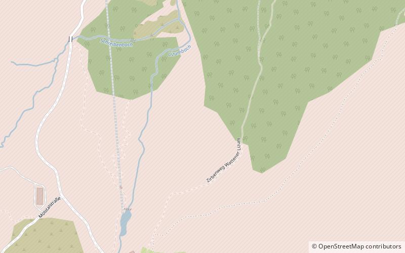
The Tux Alps or Tux Prealps are a sub-group of the Austrian Central Alps, which in turn form part of the Eastern Alps within Central Europe. They are located entirely within the Austrian federal state of Tyrol. The Tux Alps are one of three mountain ranges that form an Alpine backdrop to the city of Innsbruck. Their highest peak is the Lizumer Reckner, 2,886 m, which rises between the glen of Wattentaler Lizum and the valley of the Navisbach. Their name is derived from the village of Tux which is tucked away in a side valley of the Zillertal. ()
Local name: Tuxer Alpen Maximum elevation: 9469 ftElevation: 9469 ftCoordinates: 47°10'33"N, 11°38'36"E
Location
Tyrol
ContactAdd
Social media
Add
Day trips
Tux Alps – popular in the area (distance from the attraction)
Nearby attractions include: Glungezer, Lizumer Reckner, Bichlalm, Rastkogel.


