Seiersberg, Graz
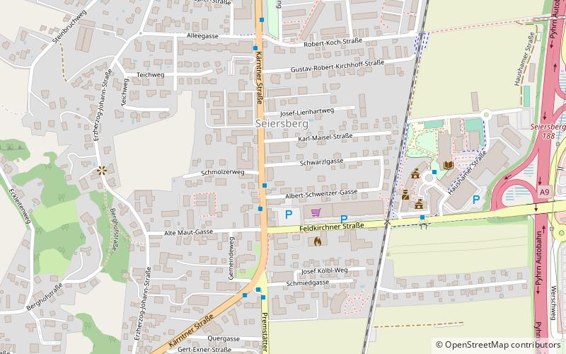
Map
Facts and practical information
Seiersberg is a former municipality in the district of Graz-Umgebung in the Austrian state of Styria. Since the 2015 Styria municipal structural reform, it is part of the municipality Seiersberg-Pirka. ()
Getting there by public transportation
Public transportation stops near this location
- Bus
- Train
 Bus
Bus
- Calculate routeMitte 2 min walk
- Calculate routeEndstation 5 min walk
- Calculate routeGemeindeamt 6 min walk
- Calculate routeRobert-Koch-Straße 6 min walk
- Calculate routeGraz Straßgang 17 min walk
Day trips


Frequently Asked Questions (FAQ)
Which popular attractions are close to Seiersberg?
Nearby attractions include Rupertikirche, Graz (18 min walk), Sankt Florian, Graz (20 min walk), Kirche Maria im Elend zu Straßgang, Graz (20 min walk).
How to get to Seiersberg by public transport?
The nearest stations to Seiersberg:
Bus
Train
Bus
- Mitte • Lines: 32, 681, 691, 700, 740, 760, 79, N6 (2 min walk)
- Endstation • Lines: 32, 681, 692, 78, 79, N6 (5 min walk)
Train
- Graz Straßgang (17 min walk)