Sankt Florian, Graz
Map

Map

Facts and practical information
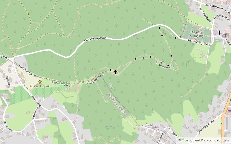
Florianikirche is a small Roman Catholic mountain church in the 16th district of Graz, Straßgang. It stands on the Florianiberg, a 527 m above sea level elevation of the hill country west of Graz.
Coordinates: 47°1'13"N, 15°23'27"E
Address
Graz
ContactAdd
Social media
Add
Day trips
Sankt Florian – popular in the area (distance from the attraction)
Nearby attractions include: Buchkogel, Seiersberg, Schloss Sankt Martin, Kirche Maria im Elend zu Straßgang.
Frequently Asked Questions (FAQ)
Which popular attractions are close to Sankt Florian?
Nearby attractions include Kirche Maria im Elend zu Straßgang, Graz (11 min walk), Rupertikirche, Graz (13 min walk), Seiersberg, Graz (20 min walk), Straßgang, Graz (23 min walk).
How to get to Sankt Florian by public transport?
The nearest stations to Sankt Florian:
Bus
Train
Bus
- Straßgang-Süd • Lines: 32, 691, 79, N6 (11 min walk)
- Straßgang-Zentrum • Lines: 32, 62, 681, 691, 700, 720, 740, 760, N6 (13 min walk)
Train
- Graz Straßgang (18 min walk)
- Graz Webling (29 min walk)


