Übergossene Alm

Gallery (1)
Map
Map
Facts and practical information
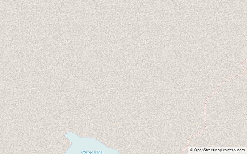
The Übergossene Alm is the name of the summit region of the Hochkönig in the Berchtesgaden Alps. It contains the remains of a glacier that used to cover almost the entire summit plateau; in 1888 around 5.5 km² of the plateau was covered by an ice sheet. Since then the glacial surface has melted until it now covers just 1.5 km² and the glacier has split into three, small crevasse-free areas. The name of the glacier goes back to a local legend. ()
Location
Salzburg
ContactAdd
Social media
Add
Day trips


