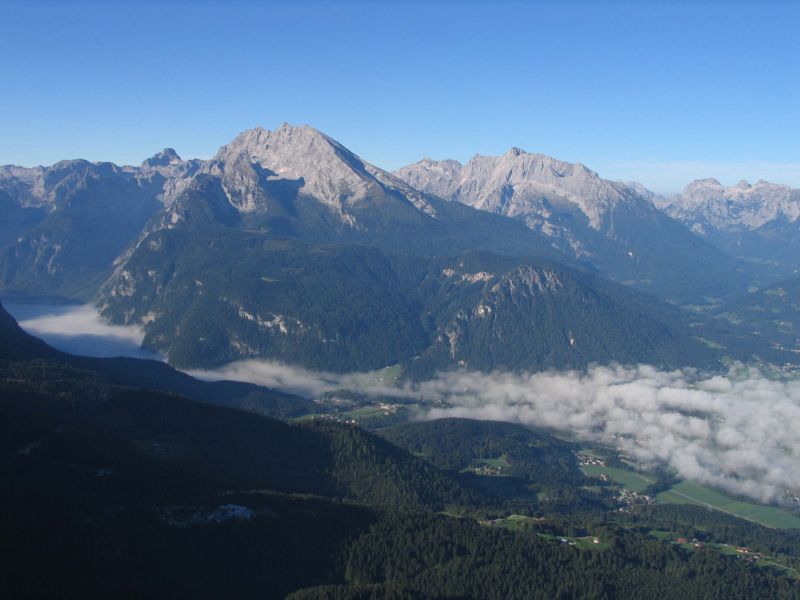
Berchtesgaden Alps
Map

Gallery

Facts and practical information
The Berchtesgaden Alps are a mountain range of the Northern Limestone Alps, named after the market town of Berchtesgaden located in the centre. The central part belongs to the Berchtesgadener Land district of southeastern Bavaria, Germany, while the adjacent area in the north, east and south is part of the Austrian state of Salzburg. ()
Local name: Berchtesgadener Alpen Maximum elevation: 147638 ftElevation: 9649 ftCoordinates: 47°25'16"N, 13°3'43"E
Location
Salzburg
ContactAdd
Social media
Add
Day trips
Berchtesgaden Alps – popular in the area (distance from the attraction)
Nearby attractions include: Hochkönig, Bratschenköpfe, Hochkönig, Lamkopf.


