Feichtauhütte, Nationalpark Kalkalpen
Map

Map

Facts and practical information
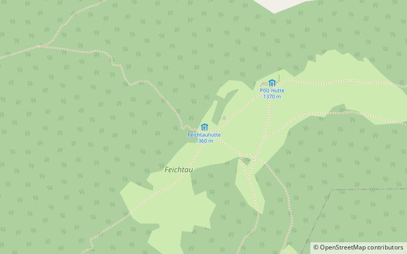
The Feichtauhütte is a hut of the Molln-Steyrtal Section of the Austrian Alpine Club in the Upper Austrian Pre-Alps. It is located on the Feichtaualm north of the Sengsengebirge. The hut was built in the 18th century by the Steyr dominion as a hunting and woodsmen's hut. From 1921, the hut was leased by the Steyr Section and underwent general renovation in 1935 and 1936. In 2020, the Feichtauhütte was handed over to the Molln-Steyrtal Section and continued to be managed by them as a self-catering hut.
Coordinates: 47°48'5"N, 14°19'3"E
Address
Nationalpark Kalkalpen
ContactAdd
Social media
Add
Day trips
Feichtauhütte – popular in the area (distance from the attraction)
Nearby attractions include: Upper Austrian Prealps, Windischgarsten.


