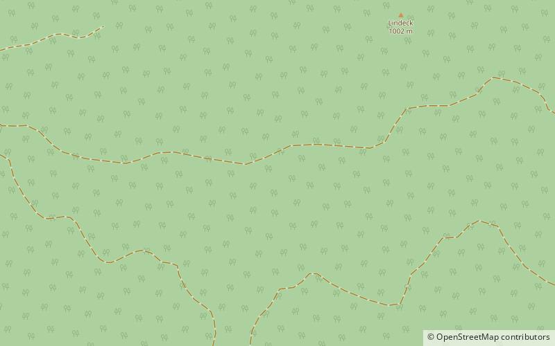
Upper Austrian Prealps

Map
Facts and practical information
The Upper Austrian Prealps is a mountain range in Austria which, according to the Categorisation of the Eastern Alps, covers the region between the valley of the Traun in the west and the Enns valley in the east, from Steyr in the north. It is usually counted as part of the Enns- and Steyrtal Prealps and Salzkammergut Prealps. Politically it covers the districts of Steyr-Land and Kirchdorf. Large parts are located within the Limestone Alps National Park. ()
Local name: Oberösterreichische Voralpen Maximum elevation: 6440 ftCoordinates: 47°51'59"N, 14°21'8"E
Location
Upper Austria
ContactAdd
Social media
Add
Day trips
Upper Austrian Prealps – popular in the area (distance from the attraction)
Nearby attractions include: Castle of Losenstein, Feichtauhütte.

