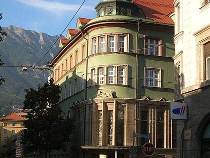
Altstadt, Innsbruck
Map
Gallery
Facts and practical information
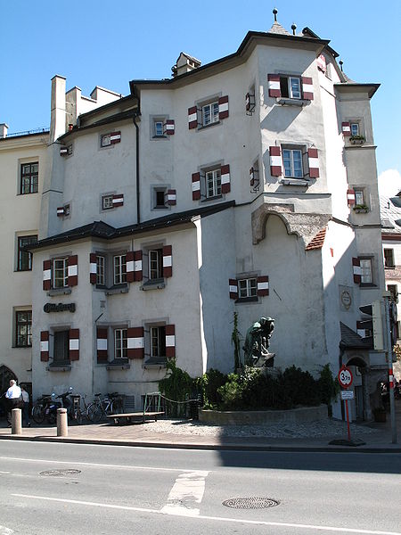
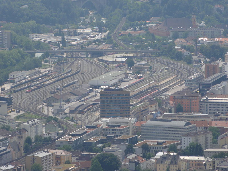
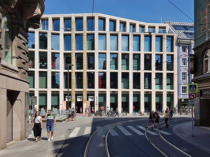
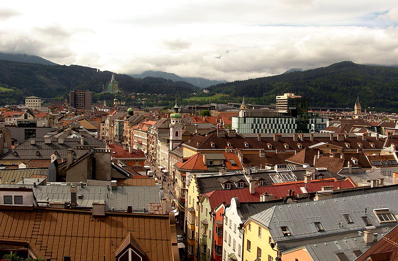
The city center is a district in Innsbruck that includes the old town, founded in 1180, and the later extensions to the south and east, the Neustadt of that time.
Area: 0.52 mi²Coordinates: 47°16'6"N, 11°23'34"E
Day trips
Altstadt – popular in the area (distance from the attraction)
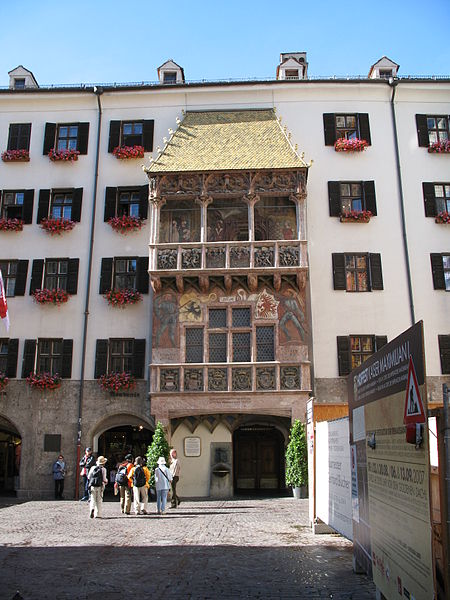
Nearby attractions include: Hofburg, Goldenes Dachl, Innsbruck Cathedral, Hofkirche.
Frequently Asked Questions (FAQ)
Which popular attractions are close to Altstadt?
Nearby attractions include Stadtturm Innsbruck, Innsbruck (1 min walk), Goldenes Dachl, Innsbruck (2 min walk), Herzog-Friedrich-Straße, Innsbruck (2 min walk), Innsbruck, Innsbruck (2 min walk).
How to get to Altstadt by public transport?
The nearest stations to Altstadt:
Bus
Tram
Train
Bus
- Maria-Theresien-Straße • Lines: A, C, J, M, N1, N2, N7, N8, Ts (3 min walk)
- Marktplatz • Lines: 2A, A, J, N7, N8, Ts, W (3 min walk)
Tram
- Maria-Theresien-Straße • Lines: 1, 2, 3, Stb (3 min walk)
- Museumstraße • Lines: 1, 2, 3, Stb (4 min walk)
Train
- Congress (6 min walk)
- Innsbruck Hbf (14 min walk)


