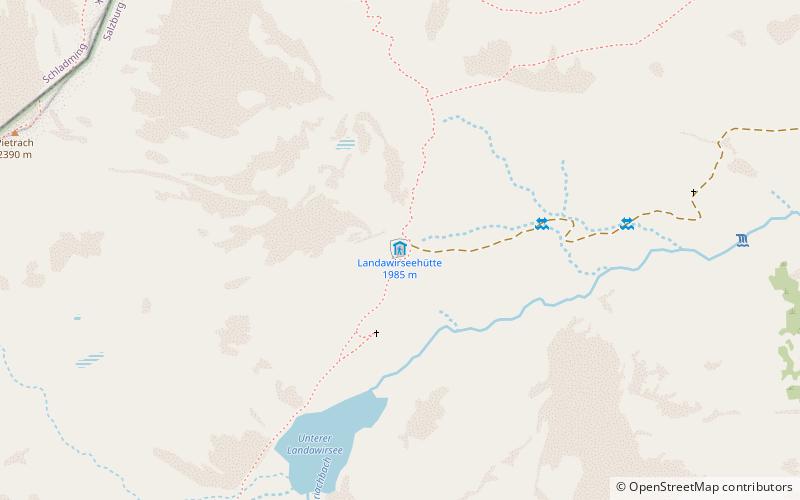
Landawirseehütte
Map

Map

Facts and practical information
The Landawirseehütte is an alpine club hut of the Lungau Section of the Austrian Alpine Club in the Schladminger Tauern. It is located on the lower Landawirsee, east of the Trockenbrotscharte and is a base on the Zentralalpenweg, an Austrian long-distance hiking trail. The hut was privately built and leased in 1911. Since 1912 it was open and was expanded in 1923 and 1926/1927. After being destroyed in 1977, it was rebuilt in 1977-1980.
Coordinates: 47°16'16"N, 13°43'34"E
Day trips
Landawirseehütte – popular in the area (distance from the attraction)
Nearby attractions include: Hochgolling, Hochwildstelle, Kasereck, Lower Tauern.


