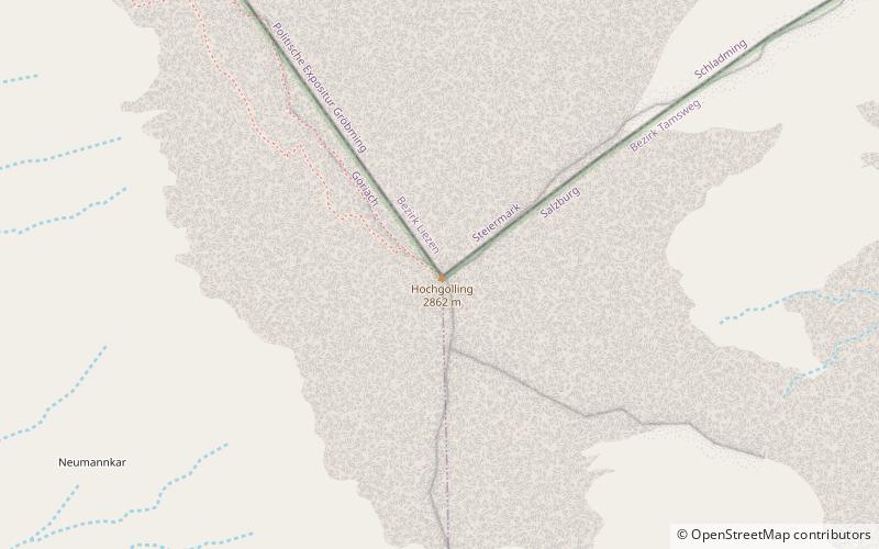
Hochgolling
Map

Map

Facts and practical information
The Hochgolling is a mountain of the Eastern Alps, located on the border of Steiermark and Salzburg, Austria, near the ski resort of Schladming. It is the highest peak of the Lower Tauern range. ()
Alternative names: First ascent: 1791Elevation: 9390 ftProminence: 3688 ftCoordinates: 47°15'59"N, 13°45'38"E
Location
Salzburg
ContactAdd
Social media
Add
Day trips
Hochgolling – popular in the area (distance from the attraction)
Nearby attractions include: Hochwildstelle, Kasereck, Lower Tauern, Schladming Tauern.


