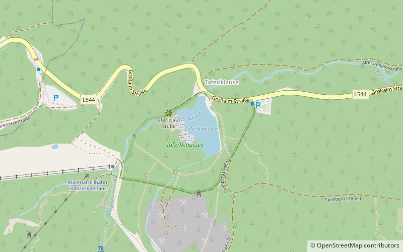
Taferlklaussee
Map

Map

Facts and practical information
The Taferlklaussee was created in 1716 by the damming of the Aurach Creek. The lake can be reached on foot by a 3.5-hour hike from the village of Altmünster in Upper Austria. ()
Alternative names: Area: 3.78 acres (0.0059 mi²)Length: 558 ftWidth: 262 ftElevation: 2530 ft a.s.l.Coordinates: 47°50'34"N, 13°37'37"E
Location
Upper Austria
ContactAdd
Social media
Add
Day trips
Taferlklaussee – popular in the area (distance from the attraction)
Nearby attractions include: Composing hut of Gustav Mahler, Attersee Lake, Langbathseen, Nußdorf am Attersee.


