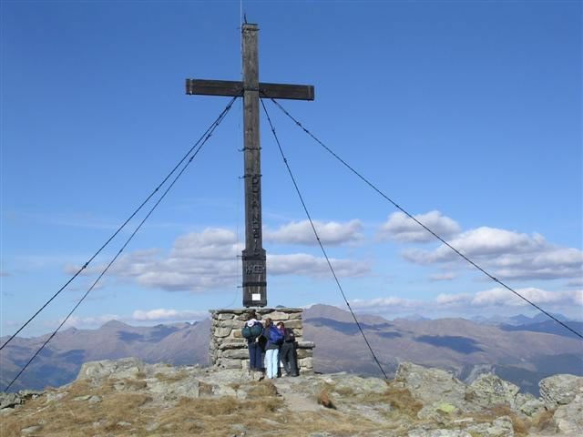
Sillianer Hütte
Map

Gallery

Facts and practical information
The Sillianer Hütte is an alpine club hut of the Sillian section of the Austrian Alpine Club on the Carnic main ridge. It serves as a base hut for the Austrian Southern Alps Long Distance Trail 03, the European Long Distance Trail 10 and the Via Alpina.
Coordinates: 46°42'22"N, 12°24'23"E
Location
182 SillianTyrol
ContactAdd
Social media
Add
Day trips
Sillianer Hütte – popular in the area (distance from the attraction)
Nearby attractions include: Heinfels Castle, Obstansersee-Hütte, Kartitsch, Strassen.


