Innere Schwarze Schneid

Gallery (1)
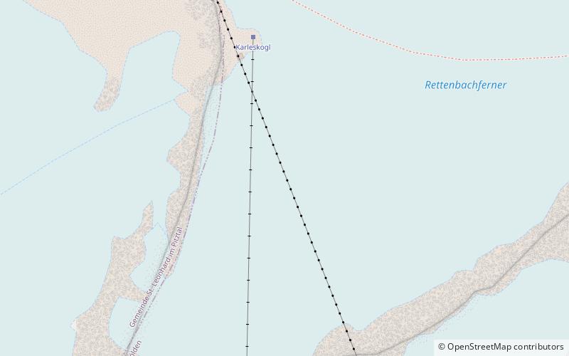
Map
Map
Facts and practical information
The Innere Schwarze Schneid is a mountain in the Weisskamm group of the Ötztal Alps. ()
Alternative names: First ascent: 1874Elevation: 11047 ftProminence: 961 ftCoordinates: 46°55'48"N, 10°55'37"E
Location
Tyrol
ContactAdd
Social media
Add
Day trips
Innere Schwarze Schneid – popular in the area (distance from the attraction)
Nearby attractions include: Rettenbach glacier, Äussere Schwarze Schneid, Ötztal Glacier Road, Braunschweiger Hütte.


