Äussere Schwarze Schneid

Gallery (1)
Map
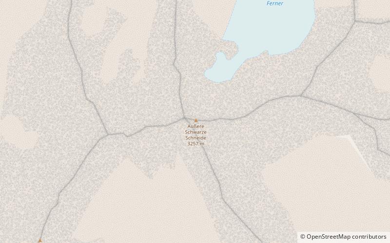
Map
Facts and practical information
The Äussere Schwarze Schneid is a mountain in the Weisskamm group of the Ötztal Alps. ()
Local name: Äußere Schwarze Schneid Elevation: 10686 ftProminence: 646 ftCoordinates: 46°56'16"N, 10°57'9"E
Location
Tyrol
ContactAdd
Social media
Add
Day trips


