Pfarrkirche hl. Bartholomäus

Gallery (1)
Map
Map
Facts and practical information
This list of listed buildings in Rohrbach an der Gölsen contains the 3 listed immovable objects in the municipality of Rohrbach an der Gölsen in the district of Lilienfeld in Lower Austria.
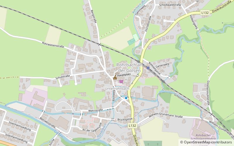
Coordinates: 48°2'51"N, 15°44'26"E
Location
Lower Austria
ContactAdd
Social media
Add
Day trips
Pfarrkirche hl. Bartholomäus – popular in the area (distance from the attraction)
Nearby attractions include: Church of St. Veit.
