Church of St. Veit

Gallery (1)
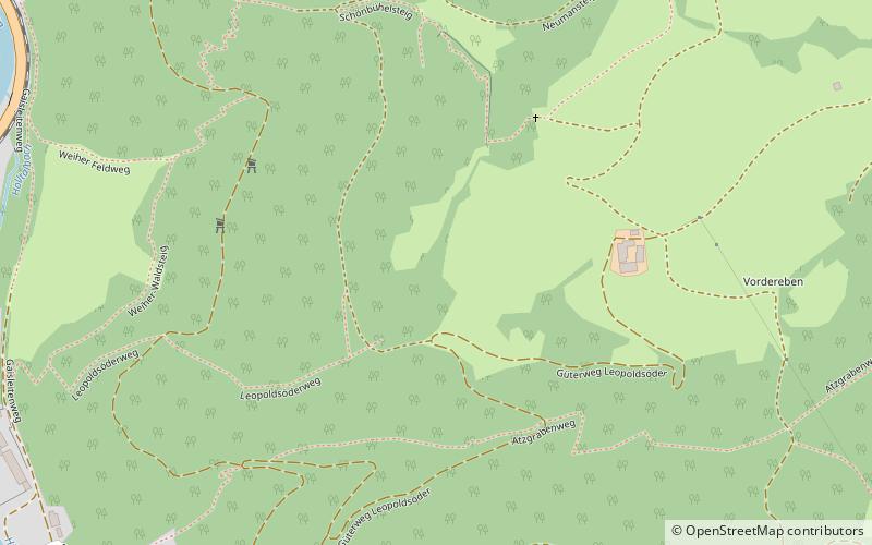
Map
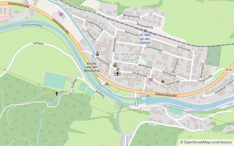
Map
Facts and practical information
The list of listed objects in St. Veit an der Gölsen contains the 6 listed immovable objects in the Lower Austrian market town St. Veit an der Gölsen in the district Lilienfeld.
Coordinates: 48°2'35"N, 15°40'10"E
Location
Lower Austria
ContactAdd
Social media
Add
Day trips