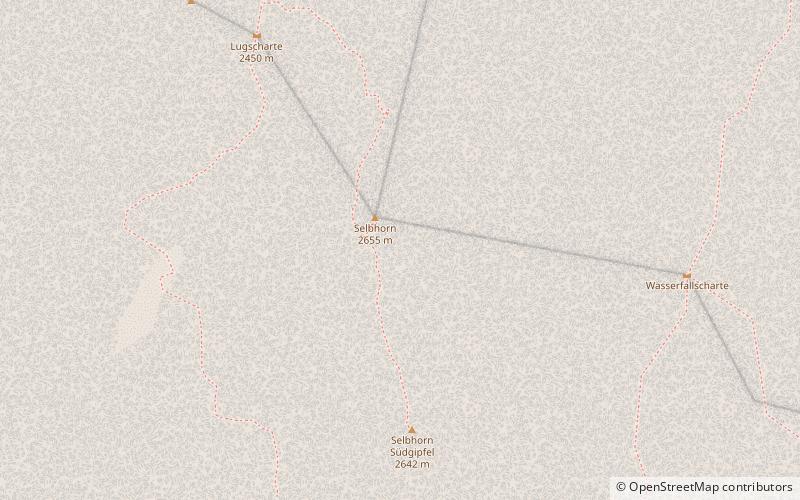
Selbhorn
#317 among destinations in Austria
![Selbhorn location map](https://tzmedia.b-cdn.net/media/images/static-maps/at/47_4464_12_9637.jpg)
Facts and practical information
SalzburgAustria
Selbhorn plan & book
Unleash the traveler in you — discover the cheapest flight deals, find the perfect hotel or hostel nearby, and search for the best car rental prices. Travel at your own pace to discover new places and enjoy your journey.
Selbhorn – popular in the area (distance from the attraction)
Nearby attractions include: Hochkönig, Schönfeldspitze, Persailhorn, Teufelshörner.
5 miEWinter sport, Ski areaHochkönig
127 min walk • Nestled in the heart of Austria's majestic alpine landscape, Hochkönig stands as a premier ski area, offering a winter sports paradise for enthusiasts of all levels. This impressive mountain range, which is part of the Berchtesgaden Alps, boasts a peak that soars...
1.5 miNWNature, Natural attraction, MountainSchönfeldspitze
38 min walk • Schönfeldspitze is, with an elevation of 2,653 m, the second highest mountain in the Steinernes Meer, a sub-range of the Berchtesgaden Alps. It is located in the Austrian state of Salzburg, close to the German border. Schönfeldspitze has a quite uncommon summit cross showing Virgin Mary cradling the dead body of Jesus.
3.5 miWNature, Natural attraction, MountainPersailhorn
90 min walk • Persailhorn is a summit in the Steinernes Meer of the Berchtesgaden Alps in the Austrian state of Salzburg.
4.5 miNENature, Natural attraction, MountainTeufelshörner
115 min walk • The Teufelshörner are a pair of mountains on the German-Austrian border in the Berchtesgaden Alps. The two peaks, which form a mountain ridge, are the Großes Teufelshorn and the Kleines Teufelshorn.
3.1 miWNature, Natural attraction, MountainMitterhorn
80 min walk • Mitterhorn is a summit in the Steinernes Meer of the Berchtesgaden Alps in the Austrian state of Salzburg.
5 miENature, Natural attraction, MountainHochkönig
127 min walk • The Hochkönig is a mountain group containing the highest mountain in the Berchtesgaden Alps, Salzburgerland, Austria. The Berchtesgaden Alps form part of the Northern Limestone Alps.
1.3 miENature, Natural attraction, MountainWildalmkirchl
35 min walk • The Wildalmkirchl is a rocky peak, 2,578 m, on the southern edge of the Steinernes Meer. It lies within the Austrian state of Salzburg, northeast of the village of Maria Alm and northwest of the Hochkönig massif.
4 miSENature, Natural attraction, MountainLamkopf
102 min walk • The Lamkopf is a mountain, 2,846 m, in the Hochkönig massif within the Berchtesgaden Alps. It lies in the Zell am See in the Austrian state of Salzburg.
3.3 miENature, Natural attraction, MountainHochseiler
85 min walk • The Hochseiler is a mountain, 2,793 m, in the Hochkönig massif within the Berchtesgaden Alps. It lies on the boundary between the districts of Zell am See and St. Johann im Pongau in the Austrian state of Salzburg.
1.9 miENature, Natural attraction, MountainBrandhorn
49 min walk • The Brandhorn is a mountain, 2,610 m, in the Berchtesgaden Alps in the Austrian state of Salzburg. It lies in the southeast of the Steinernes Meer, at the crossing to the Hochkönig.
2.9 miWNature, Natural attraction, MountainBreithorn
76 min walk • Breithorn is a summit in the Steinernes Meer of the Berchtesgaden Alps in the Austrian state of Salzburg.