Maria-Theresien-Straße, Innsbruck
Map
Gallery
Facts and practical information
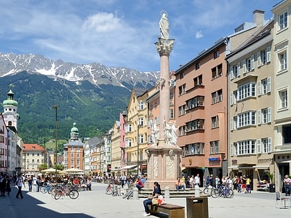
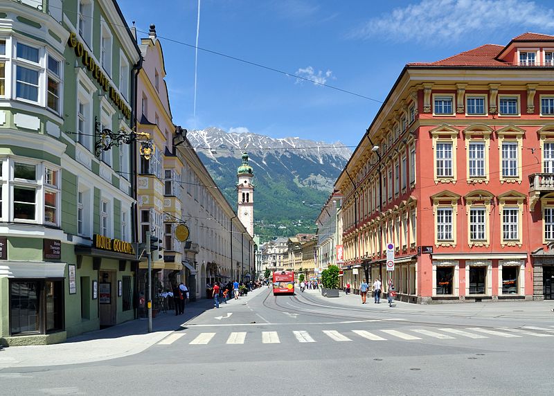
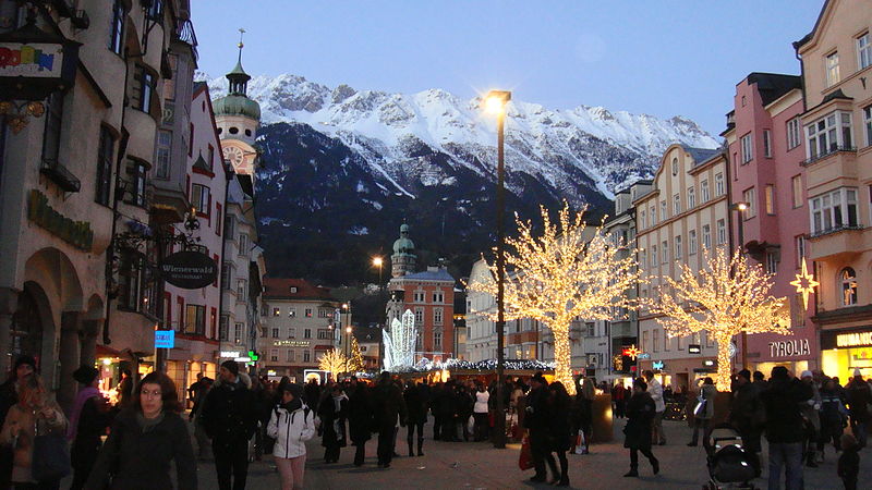
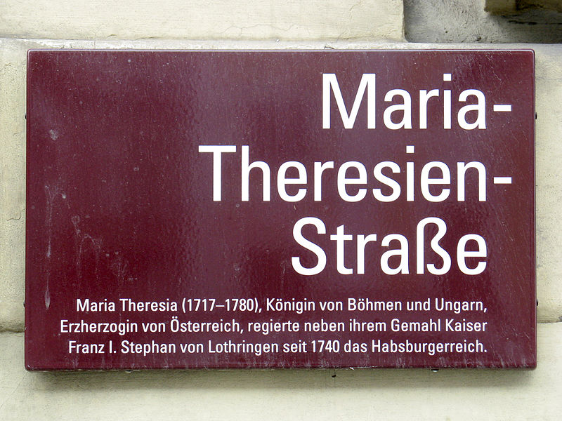
Maria-Theresien-Strasse, named after Empress Maria Theresa, is a wide, slightly curved boulevard and shopping street and a central street in Innsbruck, dating back to the first expansion of the city in the 13th century. It is one of the busiest streets in the city.
Address
Innsbruck
ContactAdd
Social media
Add
Day trips
Maria-Theresien-Straße – popular in the area (distance from the attraction)
Nearby attractions include: Hofburg, Goldenes Dachl, Innsbruck Cathedral, Hofkirche.
Frequently Asked Questions (FAQ)
Which popular attractions are close to Maria-Theresien-Straße?
Nearby attractions include Annasäule, Innsbruck (1 min walk), City Hall, Innsbruck (1 min walk), Spitalskirche, Innsbruck (2 min walk), Sparkassenplatz, Innsbruck (2 min walk).
How to get to Maria-Theresien-Straße by public transport?
The nearest stations to Maria-Theresien-Straße:
Bus
Tram
Train
Bus
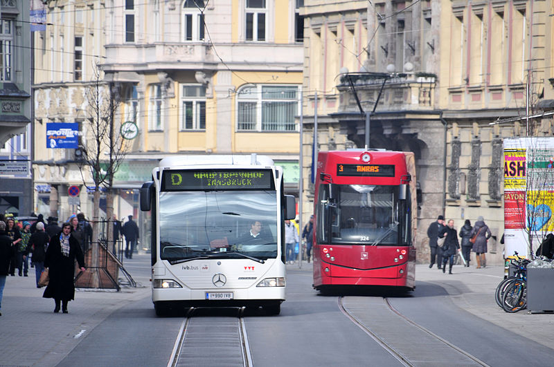
- Anichstraße/Rathausgalerien • Lines: 501, 502, 503, F, R, Ts (2 min walk)
- Maria-Theresien-Straße • Lines: A, C, J, M, N1, N2, N7, N8, Ts (2 min walk)
Tram
- Anichstraße/Rathausgalerien • Lines: 3, 5, Stb (2 min walk)
- Maria-Theresien-Straße • Lines: 1, 2, 3, Stb (2 min walk)
Train
- Congress (9 min walk)
- Innsbruck Hbf (10 min walk)
