Pillersee, Sankt Ulrich am Pillersee
#1 among attractions in Sankt Ulrich am Pillersee
Facts and practical information
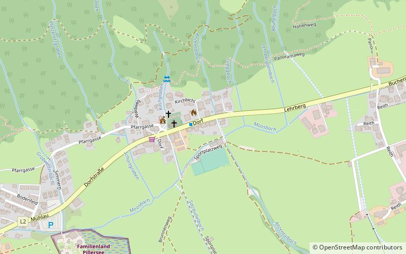
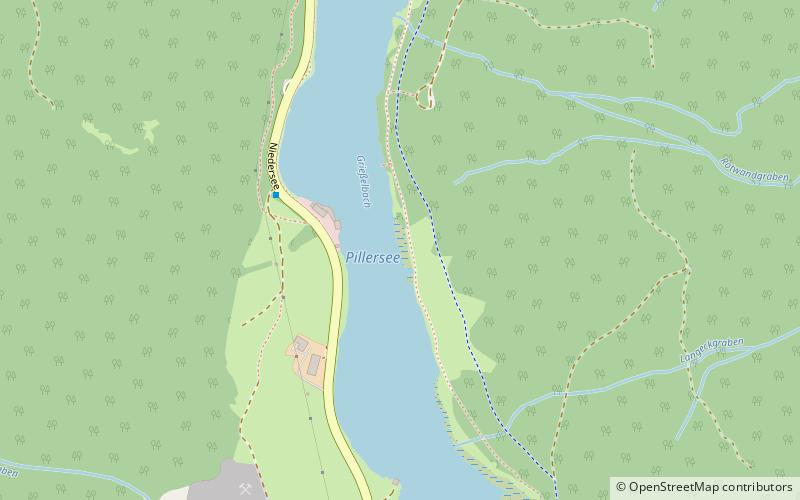
Pillersee is a lake in the Northern Limestone Alps in Tyrol, Austria. ()
Sankt Ulrich am Pillersee Austria
Pillersee – popular in the area (distance from the attraction)
Nearby attractions include: Alpensportbad St. Ulrich am Pillersee, Lauchsee, Lofer Mountains, Wiesensee.
0.8 miS47°31'43"N • 12°34'29"EAlpensportbad St. Ulrich am Pillersee, Sankt Ulrich am Pillersee
20 min walk • Watersports, Water park, Swimming
5 miSNature, Natural attraction, LakeLauchsee, Fieberbrunn
128 min walk • The Lauchsee is a large moor lake, 2.3 hectares in area, in the Tyrolean district of Kitzbühel. It lies on the territory of the municipality of Fieberbrunn above the Pletzerbach at an elevation of 859 m above sea level. The lake has two small islands and its maximum depth is 4.3 metres.
3.5 miENature, Natural attraction, Natural featureLofer Mountains
89 min walk • The Lofer Mountains or Loferer Mountains are a mountain range in the Northern Limestone Alps in the Eastern Alps of central Europe. They are located in Austria in the federal states of Tyrol and Salzburg. The Lofers are separated from the Leogang Mountains to the southeast by a 1,202 m-high saddle known as the lang|de|Römersattel}}.
3.5 miSENature, Natural attraction, LakeWiesensee
90 min walk • Wiesensee is a lake of Tyrol, Austria. It lies between the mountains of Pillersee and Hochfilzen in Austria.
4.2 miENature, Natural attraction, MountainGroßes Ochsenhorn
109 min walk • Großes Ochsenhorn is a mountain in Salzburg, Austria. It is the highest mountain in the Loferer Steinberge range. It is surrounded by a karst plateau. The mountain's name in German is translated as "Great Oxen Horn". The nearest town is Lofer in the Saalachtal valley, and the mountain takes about six hours to climb from here.
~620 ftSNature, Natural attraction, Mountain passPillersee Valley, Sankt Ulrich am Pillersee
4 min walk • The Pillersee Valley is a valley in the district of Kitzbühel in the Austrian state of Tyrol, on the border with Salzburg state.
5.4 miNEForts and castlesFestung Pass Strub
139 min walk • Fortress Pass Strub was a Salzburg fortress at Pass Strub and served to secure the road between Lofer and Waidring. It stood on the border with the Tyrol and is now a ruin.
5.3 miSETownHochfilzen
137 min walk • Hochfilzen is a town in the Austrian state of Tyrol in the Kitzbühel district. It is located at 47°28′N 12°38′E, in the Pillersee valley 5 km east of Fieberbrunn. Population was 1,147 in 2016. It is a popular winter sports resort, especially for cross-country skiing.
3.1 miNLocalityWaidring
80 min walk • For nature enthusiasts, Waidring is a haven of outdoor activities. With its proximity to the Steinplatte mountain, visitors can embark on thrilling hikes, mountain bike rides, or even try their hand at paragliding. The panoramic views from the summit are simply...
2.7 miSLocalitySankt Jakob in Haus
69 min walk • One of the main attractions of Sankt Jakob in Haus is its stunning landscape, which provides ample opportunities for hiking, mountain biking, and skiing. The nearby Pillersee Valley is a paradise for outdoor activities, with its crystal-clear lakes, lush meadows,...