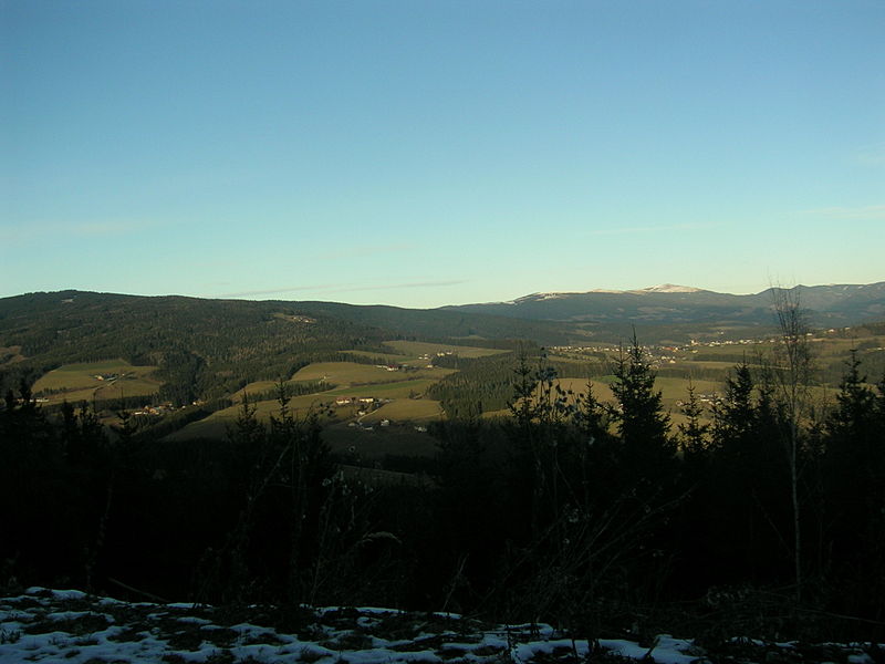
Fischbach Alps

Gallery (3)
Map
Map
Gallery
Facts and practical information
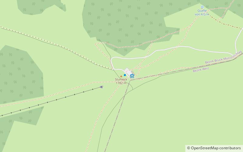
The Fischbach Alps are part of the Prealps East of the Mur. ()
Local name: Fischbacher Alpen Maximum elevation: 98425 ftElevation: 5846 ftCoordinates: 47°34'27"N, 15°47'24"E
Location
Styria
ContactAdd
Social media
Add
Day trips


