Prealps East of the Mur

Gallery (1)
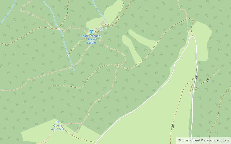
Map
Map
Facts and practical information
The Prealps East of the Mur are the easternmost mountain range of the Central Eastern Alps. They comprise the eastern foothills of the Alpine crest beyond the Mur river and the adjacent southeastern Alpine Foreland. ()
Local name: Randgebirge östlich der Mur Maximum elevation: 459318 ftCoordinates: 47°34'48"N, 15°48'0"E
Location
Styria
ContactAdd
Social media
Add
Day trips


