Wechsel

Gallery (1)
Map
Map
Facts and practical information
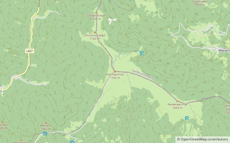
The Wechsel is a low mountain range in eastern Austria whose highest summit is the Hochwechsel. It also has two other summits over 1700 m. The massif forms the border between the states of Lower Austria and Styria for about 15 km, southeast of the Semmering and northeast of the Graz Basin, between the Feistritz Saddle and the eponymous pass of Wechsel. ()
Location
Lower Austria
ContactAdd
Social media
Add
Day trips


