Siebenkapellenkirche, Innsbruck
Map

Map

Facts and practical information
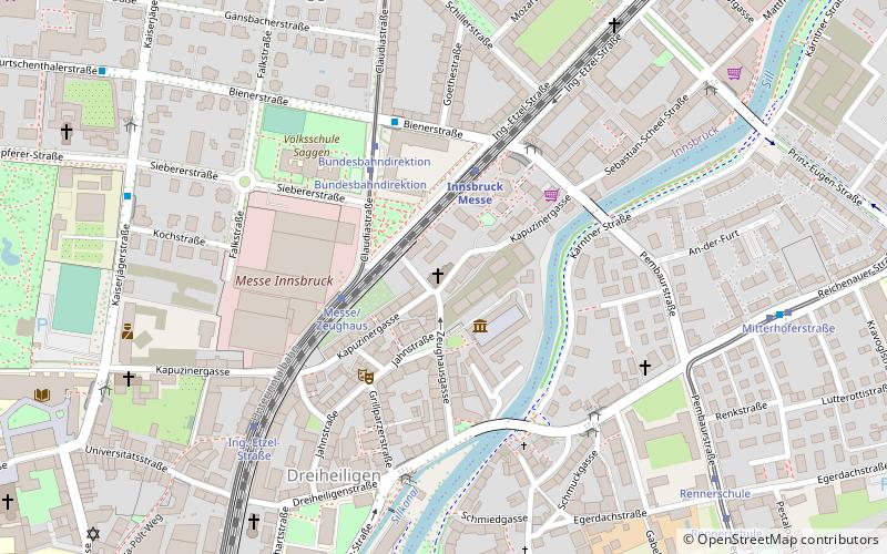
The Siebenkapellenkirche, also Heiliggrabkirche or Siebenkreuzkapelle, is a profaned church building in the Dreiheiligen-Schlachthof district of Innsbruck.
Coordinates: 47°16'17"N, 11°24'23"E
Address
39 KapuzinergasseInnsbruck
ContactAdd
Social media
Add
Day trips
Siebenkapellenkirche – popular in the area (distance from the attraction)
Nearby attractions include: Hofburg, Goldenes Dachl, Innsbruck Cathedral, Hofkirche.
Frequently Asked Questions (FAQ)
Which popular attractions are close to Siebenkapellenkirche?
Nearby attractions include Armory, Innsbruck (2 min walk), Messe Innsbruck, Innsbruck (4 min walk), Dreiheiligen, Innsbruck (8 min walk), Stadtpark Rapoldi, Innsbruck (10 min walk).
How to get to Siebenkapellenkirche by public transport?
The nearest stations to Siebenkapellenkirche:
Train
Tram
Bus
Aerialway
Train
- Innsbruck Messe (3 min walk)
- Löwenhaus/ORF (13 min walk)
Tram
- Messe/Zeughaus • Lines: 1 (3 min walk)
- Bundesbahndirektion • Lines: 1 (4 min walk)
Bus
- Messe Bahnhof • Lines: N3, R, Ts (4 min walk)
- Bundesbahndirektion • Lines: B, N3, R (4 min walk)
Aerialway
- Hungerburg • Lines: Inkb (28 min walk)


