Brandenburger Haus
Map

Gallery

Facts and practical information
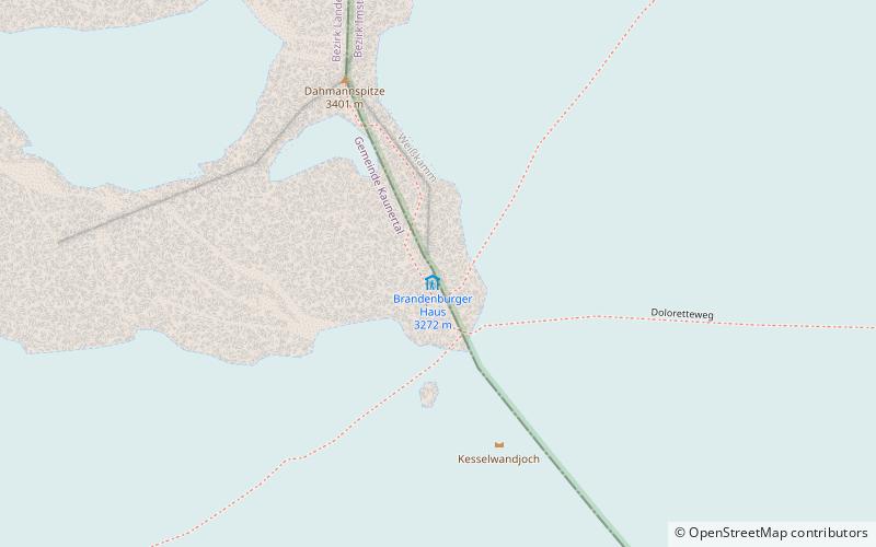
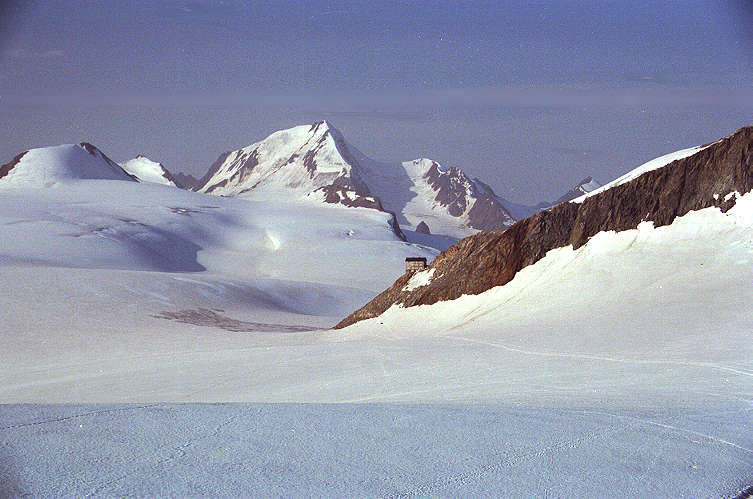
The Brandenburger Haus is the highest refuge of the Berlin Section of the German Alpine Club. It is located at an altitude of 3277 meters above sea level in the Ötztal Alps in the Austrian province of Tyrol between the glaciers Gepatsch- and Kesselwandferner. The nearest town is Vent, 10 kilometers to the east as the crow flies, a district of the municipality of Sölden in the upper Ötztal. The hut was planned and built between 1905 and 1909 by the former Mark Brandenburg Alpine Club Section. Today, the Brandenburger Haus belongs to the "Berlin Section".
Location
Tyrol
ContactAdd
Social media
Add
Day trips
Brandenburger Haus – popular in the area (distance from the attraction)
Nearby attractions include: Wildspitze, Kreuzspitze, Hinterer Brunnenkogel, Breslauer Hütte.


