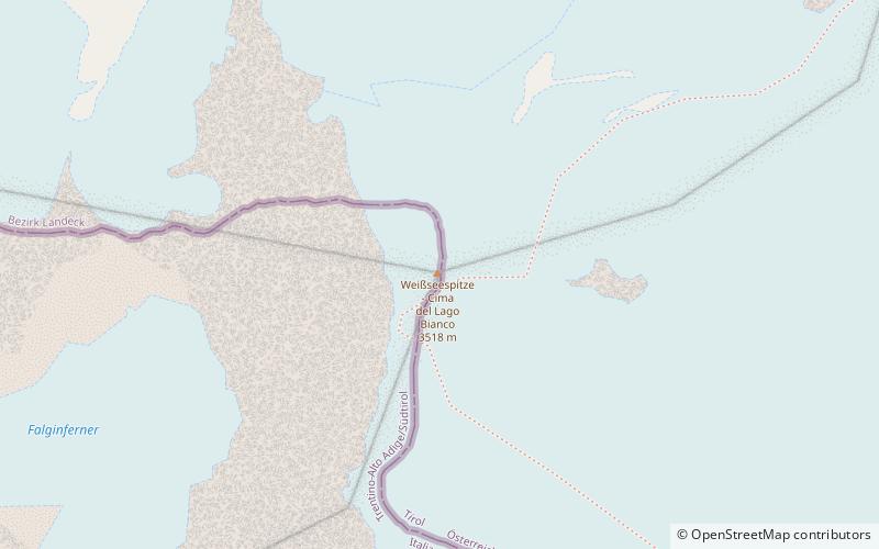
Weißseespitze
#363 among destinations in Austria
![Weißseespitze location map](https://tzmedia.b-cdn.net/media/images/static-maps/at/46_8462_10_7169.jpg)
Facts and practical information
The Weißseespitze is a mountain in the Weisskamm group of the Ötztal Alps. It has an elevation of 3,526 m above sea level. ()
TyrolAustria
Weißseespitze plan & book
Unleash the traveler in you — discover the cheapest flight deals, find the perfect hotel or hostel nearby, and search for the best car rental prices. Travel at your own pace to discover new places and enjoy your journey.
Weißseespitze – popular in the area (distance from the attraction)
Nearby attractions include: Fluchtkogel, Hochvernagtspitze, Glockturm, Fineilspitze.
3.7 miENature, Natural attraction, MountainFluchtkogel
94 min walk • The Fluchtkogel is a mountain in the Weisskamm group of the Ötztal Alps.
4.4 miNENature, Natural attraction, MountainHochvernagtspitze
112 min walk • The Hochvernagtspitze is a mountain in the Weisskamm group of the Ötztal Alps.
4.1 miNWNature, Natural attraction, MountainGlockturm
104 min walk • The Glockturm is the highest mountain in the Glockturmkamm group of the Ötztal Alps.
7.1 miSENature, Natural attraction, MountainFineilspitze
181 min walk • The Fineilspitze is a peak in the Schnalskamm group of the Ötztal Alps on the border between Tyrol, Austria, and South Tyrol, Italy. It is known for being the discovery site of Otzi.
3.2 miSENature, Natural attraction, MountainLangtauferer Spitze
81 min walk • The Langtauferer Spitze is a mountain in the Weisskamm group of the Ötztal Alps on the border between Tyrol, Austria, and South Tyrol, Italy.
5.9 miNENature, Natural attraction, MountainBliggspitze
152 min walk • The Bliggspitze is a mountain in the Kaunergrat group of the Ötztal Alps in Austria. It has a summit elevation of 3,454 m above sea level.
5.1 miEAlpine hut, HikingVernagthütte
130 min walk • The Vernagt Hut, also called Würzburger Haus, is an alpine club hut of the Würzburg Section of the German Alpine Club. It is located in the rear Rofental in the Weißkamm of the Ötztal Alps, below the Guslarferner and the Vernagtferner.
5.7 miEAlpine hut, HikingHochjoch-Hospiz
146 min walk • Hochjoch-Hospiz is an alpine club hut of the Berlin Section of the German Alpine Club. It is located in the rearmost Rofen valley on the southeast slope of the Guslarspitzen in the Weißkamm of the Ötztal Alps at an altitude of 2412 meters above sea...
3.9 miNAlpine hut, HikingGepatschhaus
101 min walk • The Gepatschhaus is a category II refuge of the Frankfurt am Main section of the German Alpine Club. It is located in the rear Kaunertal in the Ötztal Alps. Not far from the hut passes since 1980 the toll Kaunertal Glacier Road.
2.7 miNEAlpine hut, HikingRauhekopfhütte
70 min walk • The Rauhekopfhütte is an alpine club hut of the Frankfurt am Main section of the German Alpine Club. It is located in the rear Kaunertal in the Weißkamm in the Ötztal Alps.
2.9 miEAlpine hut, HikingBrandenburger Haus
74 min walk • The Brandenburger Haus is the highest refuge of the Berlin Section of the German Alpine Club. It is located at an altitude of 3277 meters above sea level in the Ötztal Alps in the Austrian province of Tyrol between the glaciers Gepatsch- and...