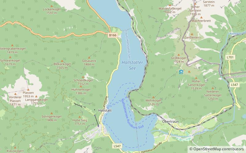
Hallstätter See
Map

Map

Facts and practical information
Hallstätter See or Lake Hallstatt is a lake in the Salzkammergut, Austria. It is named after Hallstatt, a small market town famous for its salt mining since prehistoric times and for being the starting point of the world's oldest still-working industrial pipeline, used to transport brine to Bad Ischl and further to Ebensee. ()
Alternative names: Area: 3.3 mi²Length: 3.67 miWidth: 7546 ftMaximum depth: 410 ftElevation: 1667 ft a.s.l.Coordinates: 47°34'30"N, 13°39'31"E
Location
Upper Austria
ContactAdd
Social media
Add
Day trips
Hallstätter See – popular in the area (distance from the attraction)
Nearby attractions include: Hallstatt Museum, Skywalk Hallstatt, Beinhaus., Evangelische Kirche Hallstatt.


