Evangelische Kirche Hallstatt, Hallstatt
Map

Map

Facts and practical information
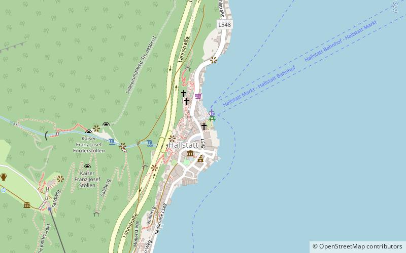
The Evangelical Parish Church Hallstatt is located in the municipality of Hallstatt in the district of Gmunden. The current sacred building dates from 1859 to 1863 and replaced the prayer house of 1785. The church is a parish church of the Evangelical Church A.B. in Austria and belongs to the Evangelical Superintendency of Upper Austria. The church is also called Christ Church. The Protestant parish church A.B. of Hallstatt is a listed monument.
Coordinates: 47°33'46"N, 13°38'58"E
Day trips
Evangelische Kirche Hallstatt – popular in the area (distance from the attraction)
Nearby attractions include: Hallstatt Museum, Hallstätter See, Skywalk Hallstatt, Beinhaus..
Frequently Asked Questions (FAQ)
Which popular attractions are close to Evangelische Kirche Hallstatt?
Nearby attractions include Hallstatt Museum, Hallstatt (2 min walk), Beinhaus., Hallstatt (2 min walk), Skywalk Hallstatt, Hallstatt (8 min walk), Schloss Grub, Hallstatt (18 min walk).
How to get to Evangelische Kirche Hallstatt by public transport?
The nearest stations to Evangelische Kirche Hallstatt:
Ferry
Bus
Train
Ferry
- ATO Hallstatt markt • Lines: Bf, Nord, Süd (1 min walk)
- Hallstatt Lahn • Lines: Süd (11 min walk)
Bus
- Hallstatt Nord • Lines: 543 (10 min walk)
- Hallstatt Lahn (11 min walk)
Train
- Hallstatt (18 min walk)


